Plan your visit
Getting here
52.02073, -0.26872
Visiting this summer
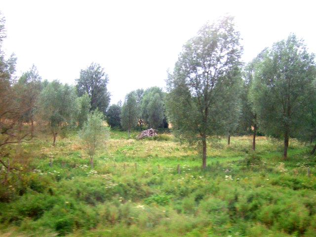
Seasonal nature notes and what to look for now
Visiting this summer
Seasonal nature notes and what to look for now
- 🌞Midsummer — early morning visits most comfortable; look for deer fawns in quieter clearings
- 🐕Early mornings are best for dog walks in summer — visit before 9am to avoid the heat and find quieter trails
- 🅿️Parking on site — 20 car parks within reach
🌤️ Visiting this summer
- 🌞Midsummer — early morning visits most comfortable; look for deer fawns in quieter clearings
- 🐕Early mornings are best for dog walks in summer — visit before 9am to avoid the heat and find quieter trails
- 🅿️Parking on site — 20 car parks within reach
Good to know
- £Free to visit — no entry charge
- 🐕Dogs welcome
Best for
Bird watching
Strong match
Grazing marsh — lapwing, redshank, snipe and wintering wildfowl
Dog walks
Strong match
Dogs allowed — public woodland
Wildlife
Strong match
Deciduous woodland priority habitat
Insect spotting
Strong match
Lowland meadows — marbled white, meadow brown and pollinating insects
Waterside walks
Good match
Grazing marsh and ditches — waterside walking
Foraging
Good match
Deciduous woodland — fungi, berries and wild garlic
Trails nearby
Within roughly 5 km🚶Walking
8 signed routes nearby · 23 public paths nearby
Signed route nearbyPublic paths
Walking
John Bunyan TrailWalking route
Kingfisher WayWalking route
Garden City 15Walking route
Letchworth GreenwayWalking route
13.6 mile (21.8km) walking route around Letchworth
HOOP - Hitchin Outer Orbital PathWalking route
Circular route around Hitchin
🚴Cycling
51 signed routes nearby
Signed route nearby
Cycling
Route 12Cycling route
Route 12Cycling route
Main RouteCycling route96 m
Main RouteCycling route41 m
Main RouteCycling route134 m
Main RouteCycling route403 m
🚵Mountain biking
1 signed route nearby
Signed route nearby
Mountain biking
Icknield Way Cycle TrailMountain bike route226 km
This is the off-road or mountain cycling route of the Icknield Way Trail.
Wildlife to spot
Photos
Weather for this location
Loading local forecast…
Nearby places
Useful places within 5 km
Own or manage this place?
Claim this listing to keep details accurate, add photos, and highlight what makes it special — free.
Claim this pageHow was your visit?
How useful was the information on this page?
id: 1e7e6c81-e6f9-452e-947c-d04729b9057a