Getting here
52.18417, 0.23708
Visiting this summer
Seasonal nature notes and what to look for now
Visiting this summer
Seasonal nature notes and what to look for now
- 🌞Midsummer — early morning visits most comfortable; look for deer fawns in quieter clearings
- 🐕Early mornings are best for dog walks in summer — visit before 9am to avoid the heat and find quieter trails
- 📍Open access throughout summer — no booking required
🌤️ Visiting this summer
- 🌞Midsummer — early morning visits most comfortable; look for deer fawns in quieter clearings
- 🐕Early mornings are best for dog walks in summer — visit before 9am to avoid the heat and find quieter trails
- 📍Open access throughout summer — no booking required
Good to know
- £Free to visit — no entry charge
- 🐕Dogs welcome
Best for
Dog walks
Strong match
Dogs allowed — public woodland
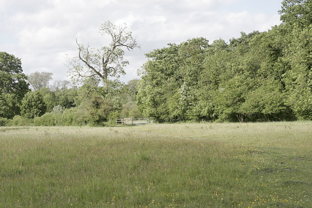
Wildlife
Strong match
Deciduous woodland priority habitat
Insect spotting
Strong match
Lowland meadows — marbled white, meadow brown and pollinating insects
Bird watching
Strong match
Deciduous woodland — woodpeckers, warblers and woodland birds
Foraging
Good match
Deciduous woodland — fungi, berries and wild garlic
Forest walks
Good match
Public woodland
Trails nearby
Within roughly 5 km🚶Walking
4 signed routes nearby · 9 public paths nearby
Signed route nearbyPublic paths
Walking
Beyond Anglesey Abbey Walk, Anglesey AbbeyWalking route7.4 km
Flat route along grass paths. Dogs welcome.
Icknield Way PathWalking route169 km
long distance footpath 169 km
Harcamlow WayWalking route
Fen Rivers Way (Cambridge to Ely)Walking route
Fleam Dykepublic footpath · 11 m
Fleam Dykepublic footpath · 173 m
Fleam Dykepublic footpath · 1.9 km
🚴Cycling
26 signed routes nearby
Signed route nearby
Cycling
Cambridge signed cycle routes networkCycling route
NCN National Route 11Cycling route
NCN 51Cycling route
Cambridge secondary cycle networkCycling route
Main RouteCycling route350 m
Main RouteCycling route500 m
🚵Mountain biking
1 signed route nearby
Signed route nearby
Mountain biking
Icknield Way Cycle TrailMountain bike route226 km
This is the off-road or mountain cycling route of the Icknield Way Trail.
🐴Horse riding
2 public paths nearby
Public paths
Horse riding
Mill Lanebridleway · 356 m
Wildlife to spot
Photos
Weather for this location
Loading local forecast…
Nearby places
Useful places within 5 km
Own or manage this place?
Claim this listing to keep details accurate, add photos, and highlight what makes it special — free.
Claim this pageHow was your visit?
How useful was the information on this page?
id: 7c31fd43-fb34-4f5a-a5db-8d86624b8506