Getting here
52.66197, 1.21866
Visiting this summer
Seasonal nature notes and what to look for now
Visiting this summer
Seasonal nature notes and what to look for now
- 🌞Midsummer — early morning visits most comfortable; look for deer fawns in quieter clearings
- 🐕Early mornings are best for dog walks in summer — visit before 9am to avoid the heat and find quieter trails
- 🅿️Parking 280m away — 2 car parks within reach
🌤️ Visiting this summer
- 🌞Midsummer — early morning visits most comfortable; look for deer fawns in quieter clearings
- 🐕Early mornings are best for dog walks in summer — visit before 9am to avoid the heat and find quieter trails
- 🅿️Parking 280m away — 2 car parks within reach
Good to know
- £Free to visit — no entry charge
- 🐕Dogs welcome
Best for
Dog walks
Strong match
Dogs allowed — public woodland
Wildlife
Strong match
Deciduous woodland priority habitat
Bird watching
Strong match
Deciduous woodland — woodpeckers, warblers and woodland birds
Foraging
Good match
Deciduous woodland — fungi, berries and wild garlic
Forest walks
Good match
Public woodland
Hiking
Moderate match
Named hiking route nearby: Costessey Circular
Trails nearby
Within roughly 5 km🚶Walking
22 signed routes nearby · 1 public path nearby
Signed route nearbyPublic paths
Walking
Marriott's WayWalking route42 km
Norwich to Aylsham via Reepham on disused railway
Olympic Torch Relay (Norwich)Walking route
Countryside TrailWalking route
Norfolk County Council Circular Walks; Length: 180m
Edith Cavell PilgrimageWalking route11 km
Costessey CircularWalking route5.5 km
🚴Cycling
57 signed routes nearby
Signed route nearby
Cycling
Purple PedalwayCycling route
Blue PedalwayCycling route
Orange PedalwayCycling route
Edith Cavell PilgrimageCycling route22.5 km
NCN National Route 1Cycling route
Pink PedalwayCycling route
🐴Horse riding
10 public paths nearby
Public paths
Horse riding
Saint Edmunds Closebridleway · 43 m
Saint Edmunds Closebridleway · 39 m
Saint Edmunds Closebridleway · 24 m
Windmill Lanebridleway · 96 m
Windmill Lanebridleway · 41 m
Wildlife to spot
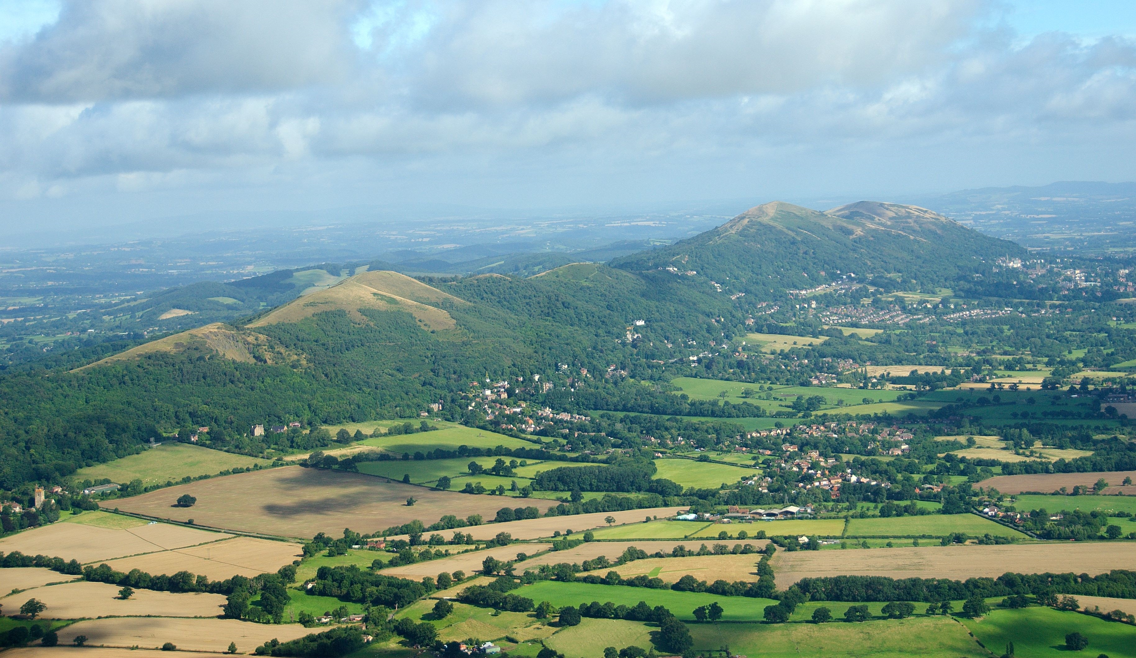
Photos
Weather for this location
Loading local forecast…
Nearby places
Useful places within 5 km
Own or manage this place?
Claim this listing to keep details accurate, add photos, and highlight what makes it special — free.
Claim this pageHow was your visit?
How useful was the information on this page?
id: 52323e3b-ddef-4cc2-b7d4-bbb62eefa7b9