Getting here
53.16049, -2.15306
Visiting this summer
Seasonal nature notes and what to look for now
Visiting this summer
Seasonal nature notes and what to look for now
- 🌞Midsummer — early morning visits most comfortable; look for deer fawns in quieter clearings
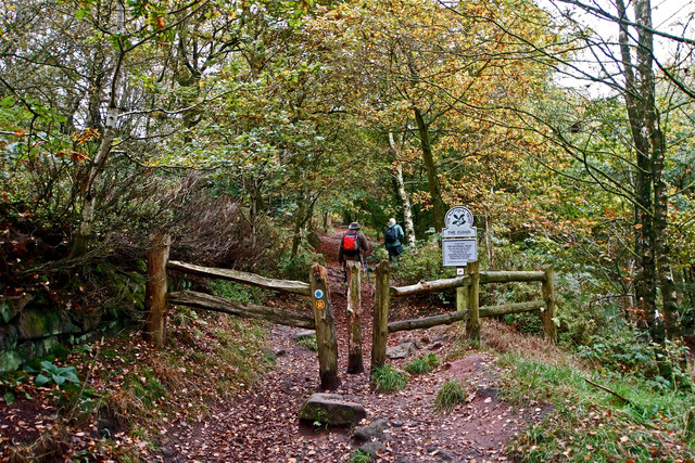
- 🐕Early mornings are best for dog walks in summer — visit before 9am to avoid the heat and find quieter trails
- 🅿️Parking 165m away — 2 car parks within reach
🌤️ Visiting this summer
- 🌞Midsummer — early morning visits most comfortable; look for deer fawns in quieter clearings
- 🐕Early mornings are best for dog walks in summer — visit before 9am to avoid the heat and find quieter trails
- 🅿️Parking 165m away — 2 car parks within reach
Good to know
- £Free to visit — no entry charge
- 🐕Dogs welcome
Best for
Dog walks
Strong match
Dogs allowed — public woodland
Wildlife
Strong match
Deciduous woodland priority habitat
Bird watching
Strong match
Deciduous woodland — woodpeckers, warblers and woodland birds
Foraging
Good match
Deciduous woodland — fungi, berries and wild garlic
Forest walks
Good match
Public woodland
Hiking
Good match
Named hiking route nearby: Gritstone Trail (Rushton Spencer - Kidsgrove)
Trails nearby
Within roughly 5 km🚶Walking
13 signed routes nearby · 22 public paths nearby
Signed route nearbyPublic paths
Walking
Peak District Boundary Walk Stage 17Walking route16.2 km
Trent Valley WayWalking route304 km
Cheshire Ring Canal WalkWalking route
Gritstone Trail (Rushton Spencer - Kidsgrove)Walking route
Gritstone Trail (River Dane - Rushton Spencer)Walking route
🚴Cycling
38 signed routes nearby
Signed route nearby
Cycling
Route 573Cycling route
Route 55Cycling route
Main RouteCycling route184 m
Main RouteCycling route114 m
Main RouteCycling route257 m
Main RouteCycling route15 m
🐴Horse riding
1 public path nearby
Public paths
Horse riding
Acorn Lanebridleway · 558 m
Wildlife to spot
Photos
Weather for this location
Loading local forecast…
Nearby places
Useful places within 5 km
Own or manage this place?
Claim this listing to keep details accurate, add photos, and highlight what makes it special — free.
Claim this pageHow was your visit?
How useful was the information on this page?
id: 391cf2be-8c5b-4023-b4e2-3899ac240d83