🌞Midsummer — early morning visits most comfortable; look for deer fawns in quieter clearings
☀️Summer family visits work well here — arrive early and plan for a longer stay
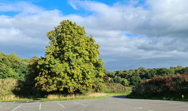
🛝Playground 298m away — built-in entertainment for younger visitors alongside the wider site
🌤️ Visiting this summer
🌞Midsummer — early morning visits most comfortable; look for deer fawns in quieter clearings
☀️Summer family visits work well here — arrive early and plan for a longer stay
🛝Playground 298m away — built-in entertainment for younger visitors alongside the wider site
Good to know
£Free to visit — no entry charge
🐕Dogs welcome
🚲Bike parking🅿️Parking🛝Playground
Best for
11 activities
🎠
Playgrounds
Strong match
playground, parking
Free
🐶
Dog walks
Strong match
Dogs allowed — public woodland
Free
🌿
Foraging
Strong match
Traditional orchard — seasonal fruit, fungi and wild plants
Varies
🦉
Wildlife
Strong match
Deciduous woodland priority habitat
Free
🛝
Family friendly
Strong match
playground
Free
🦅
Bird watching
Strong match
Deciduous woodland — woodpeckers, warblers and woodland birds
Free
Trails nearby
Within roughly 5 km
🚶
Walking
▾
4 signed routes nearby · 20 public paths nearby
Signed route nearbyPublic paths
Limestone WayWalking route74 km▾
Castleton to Rocester
Named routeLength 74 kmPoint-to-pointRegional walking route
Derwent Valley Heritage WayWalking route89 km▾
Named routeLength 89 kmRegional walking route
Frogatt, Curbar and White Edge Red Deer Circular Walk, Longshaw EstateWalking route9.6 km▾
Picturesque moorland route. Mostly flat circular with one or two steep sections and some woodland tracks. The paths can be narrow and stony in some places.
Named routeLength 9.6 kmDuration 03:00Round tripLocal walking route
Monsal TrailWalking route▾
Named routeLocal walking route
🚴
Cycling
▾
8 signed routes nearby
Signed route nearby
Monsal TrailCycling route▾
Named routeRef 680National Cycle Network
Main RouteCycling route2.4 km▾
Named routeRef 680Length 2.4 kmNational Cycle NetworkTraffic-freeSurface unsealedfirm
Main RouteCycling route476 m▾
Named routeRef 680Length 476 mNational Cycle NetworkTraffic-freeSurface asphalt
Main RouteCycling route484 m▾
Named routeRef 680Length 484 mNational Cycle NetworkTraffic-freeSurface asphalt
Main RouteCycling route601 m▾
Named routeRef 680Length 601 mNational Cycle NetworkTraffic-freeSurface asphalt
Main RouteCycling route1.3 km▾
Named routeRef 680Length 1.3 kmNational Cycle NetworkTraffic-freeSurface unsealedfirm