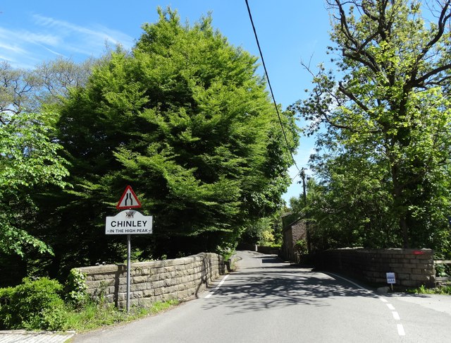
Getting here
53.33712, -1.94296
Visiting this summer
Seasonal nature notes and what to look for now
Visiting this summer
Seasonal nature notes and what to look for now
- 🌞Midsummer — early morning visits most comfortable; look for deer fawns in quieter clearings
- ☀️Summer family visits work well here — arrive early and plan for a longer stay
- 🛝Playground 166m away — built-in entertainment for younger visitors alongside the wider site
🌤️ Visiting this summer
- 🌞Midsummer — early morning visits most comfortable; look for deer fawns in quieter clearings
- ☀️Summer family visits work well here — arrive early and plan for a longer stay
- 🛝Playground 166m away — built-in entertainment for younger visitors alongside the wider site
Good to know
- £Free to visit — no entry charge
- 🐕Dogs welcome
Best for
Playgrounds
Strong match
playground, parking
Dog walks
Strong match
Dogs allowed — public woodland
Wildlife
Strong match
Deciduous woodland priority habitat
Family friendly
Strong match
playground
Bird watching
Strong match
Deciduous woodland — woodpeckers, warblers and woodland birds
Foraging
Good match
Deciduous woodland — fungi, berries and wild garlic
Trails nearby
Within roughly 5 km🚶Walking
16 signed routes nearby · 34 public paths nearby
Signed route nearbyPublic paths
Walking
Midshires WayWalking route370 km
Multi-use trail links the Ridgeway National Trail with the Trans Pennine Trail
Lantern Pike Circular (Ethel), High PeakWalking route7.4 km
Mount Famine, South Head and Brown Knoll (Ethels), High PeakWalking route10.9 km
Broken BanksWalking route
Kinder Trespass 75Walking route
Forge Roadpublic footpath · 86 m
Peak Forest Tramway Trailpublic footpath · 295 m
Peak Forest Tramway Trailpublic footpath · 255 m
🚴Cycling
5 signed routes nearby
Signed route nearby
Cycling
Peak Forest Tramway TrailCycling route
Sett Valley TrailCycling route
Peak Forest CanalCycling route
High Peak CyclewayCycling route
Pennine CyclewayCycling route
🚵Mountain biking
1 signed route nearby
Signed route nearby
Mountain biking
Great North Trail (Peak District and South Pennines)Mountain bike route130.4 km
Wildlife to spot
Photos
Weather for this location
Loading local forecast…
Nearby places
Useful places within 5 km
Own or manage this place?
Claim this listing to keep details accurate, add photos, and highlight what makes it special — free.
Claim this pageHow was your visit?
How useful was the information on this page?
id: f0850371-28b5-456a-9ab5-d00ea3956f83