Getting here
53.34063, -1.70764
Visiting this summer
Seasonal nature notes and what to look for now
Visiting this summer
Seasonal nature notes and what to look for now
- 🌞Midsummer — early morning visits most comfortable; look for deer fawns in quieter clearings
- 🌿Foraging is at its best in summer here
- 🐕Dogs welcome — bring water in summer; the site has enough space to find shade on hot days
🌤️ Visiting this summer
- 🌞Midsummer — early morning visits most comfortable; look for deer fawns in quieter clearings
- 🌿Foraging is at its best in summer here
- 🐕Dogs welcome — bring water in summer; the site has enough space to find shade on hot days
Good to know
- £Free to visit — no entry charge
- 🐕Dogs welcome
Best for
Wildlife
Strong match
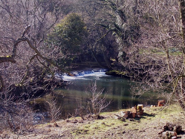
Deciduous woodland priority habitat
Bird watching
Strong match
Deciduous woodland — woodpeckers, warblers and woodland birds
Foraging
Good match
Deciduous woodland — fungi, berries and wild garlic
Forest walks
Moderate match
Public woodland
Trails nearby
Within roughly 5 km🚶Walking
5 signed routes nearby · 12 public paths nearby
Signed route nearbyPublic paths
Walking
Limestone WayWalking route74 km
Castleton to Rocester
Derwent Valley Heritage WayWalking route89 km
Crook Hill Circular (Ethel), High PeakWalking route11.5 km
Mam Tor Cavedale Loop, High PeakWalking route9.5 km
Sheffield Country WalkWalking route85 km
Noe Lanepublic footpath · 109 m
🚴Cycling
15 signed routes nearby
Signed route nearby
Cycling
Thornhill TrailCycling route
Route 6Cycling route
Main RouteCycling route454 m
Main RouteCycling route119 m
Main RouteCycling route252 m
Main RouteCycling route347 m
🚵Mountain biking
1 signed route nearby
Signed route nearby
Mountain biking
Great North Trail (Peak District and South Pennines)Mountain bike route130.4 km
Wildlife to spot
Photos
Weather for this location
Loading local forecast…
Nearby places
Useful places within 5 km
Own or manage this place?
Claim this listing to keep details accurate, add photos, and highlight what makes it special — free.
Claim this pageHow was your visit?
How useful was the information on this page?
id: 33f37be4-1cb8-4483-bd96-e3558183cd10