Getting here
53.34888, -1.69592
Visiting this summer
Seasonal nature notes and what to look for now
Visiting this summer
Seasonal nature notes and what to look for now
- 🌞Midsummer — early morning visits most comfortable; look for deer fawns in quieter clearings
- 🐕Early mornings are best for dog walks in summer — visit before 9am to avoid the heat and find quieter trails
- 🅿️Parking 305m away — 6 car parks within reach
🌤️ Visiting this summer
- 🌞Midsummer — early morning visits most comfortable; look for deer fawns in quieter clearings
- 🐕Early mornings are best for dog walks in summer — visit before 9am to avoid the heat and find quieter trails
- 🅿️Parking 305m away — 6 car parks within reach
Good to know
- £Free to visit — no entry charge
- 🐕Dogs welcome
Best for
Dog walks
Strong match
Dogs allowed — public woodland
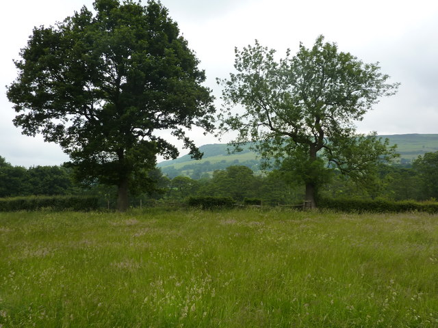
Wildlife
Strong match
Deciduous woodland priority habitat
Bird watching
Strong match
Deciduous woodland — woodpeckers, warblers and woodland birds
Foraging
Good match
Deciduous woodland — fungi, berries and wild garlic
Forest walks
Good match
Public woodland
Hiking
Good match
Named hiking route nearby: Derwent Valley Heritage Way
Trails nearby
Within roughly 5 km🚶Walking
7 signed routes nearby · 61 public paths nearby
Signed route nearbyPublic paths
Walking
Derwent Valley Heritage WayWalking route89 km
Crook Hill Circular (Ethel), High PeakWalking route11.5 km
Lost Lad and Back Tor (Ethels), High PeakWalking route12.1 km
Views and Woodlands Walk at Longshaw, Longshaw EstateWalking route8.4 km
Panoramic views across the Peak District. This circular walk includes some short, steep sections as well as uneven ground and some muddy areas. Ensure you are wearing suitable footwear.
Longshaw Woodland Explorer Walk, Longshaw EstateWalking route4.8 km
Reasonable terrain with some steep sections. https://nt.global.ssl.fastly.net/binaries/content/assets/website/national/regions/peak-district-derbyshire/places/longshaw-burbage-and-the-eastern-moors/pdf/230208-longshaw-access-statement-feb-2024.pdf
The Hollowpublic footpath · 46 m
The Hollowpublic footpath · 281 m
Water Lanepublic footpath · 402 m
🚴Cycling
13 signed routes nearby
Signed route nearby
Cycling
Thornhill TrailCycling route
Route 6Cycling route
Main RouteCycling route454 m
Main RouteCycling route119 m
Main RouteCycling route252 m
Main RouteCycling route347 m
🐴Horse riding
2 public paths nearby
Public paths
Horse riding
Thornhill Trailbridleway · 1.1 km
Bamford Cloughbyway open to all traffic · 183 m
Wildlife to spot
Photos
Weather for this location
Loading local forecast…
Nearby places
Useful places within 5 km
Own or manage this place?
Claim this listing to keep details accurate, add photos, and highlight what makes it special — free.
Claim this pageHow was your visit?
How useful was the information on this page?
id: 181b3a91-984d-4d85-a920-3c01b33c4c4f