Binns Wood - Broadleaved woodland
6 ha
Plan your visit
🐶Dogs🦉Wildlife🦅Birds
Public accessFree entryDogs welcome6 ha
Getting here
53.57619, -1.78962
Open directionsv
Visiting this summer
Seasonal nature notes and what to look for now
- 🌞Midsummer — early morning visits most comfortable; look for deer fawns in quieter clearings
- 🐕Early mornings are best for dog walks in summer — visit before 9am to avoid the heat and find quieter trails
- 🅿️Bridge Lane Car Park 14m away — 20 car parks within reach
🌤️ Visiting this summer
- 🌞Midsummer — early morning visits most comfortable; look for deer fawns in quieter clearings
- 🐕Early mornings are best for dog walks in summer — visit before 9am to avoid the heat and find quieter trails
- 🅿️Bridge Lane Car Park 14m away — 20 car parks within reach
- £Free to visit — no entry charge
- 🐕Dogs welcome
🚲Bike parking🅿️Parking· Paid
Dogs allowed — public woodland
Free
Deciduous woodland priority habitat
Free
🦅Bird watching
Strong match
Deciduous woodland — woodpeckers, warblers and woodland birds
Free
Deciduous woodland — fungi, berries and wild garlic
Varies
🍂Seasonal nature
Good match
Broadleaved woodland — spring blossom and autumn colour
Free
Trails nearby
Within roughly 5 km6 signed routes nearby · 28 public paths nearby
Signed route nearbyPublic paths
Kirklees WayWalking route116 km▾
Named routeLength 116 kmRound tripRegional walking route
Peak District Boundary Walk Stage 7Walking route16.9 km▾
Named routeLength 16.9 kmRegional walking route
Peak District Boundary Walk Stage 6Walking route13.7 km▾
Named routeLength 13.7 kmRegional walking route
Holme Valley Circular WalkWalking route▾
Named routeLocal walking route
Meltham WayWalking route▾
Named routeLocal walking route
Hebble Lanepublic footpath · 129 m▾
Public pathpublic footpathLength 129 mPath type: footway
Hebble Lanepublic footpath · 93 m▾
Public pathpublic footpathLength 93 mSurface compactedPath type: footway
Hillpublic footpath · 22 m▾
Public pathpublic footpathLength 22 mPath type: residential
30 signed routes nearby
Signed route nearby
West Yorkshire Cycle RouteCycling route▾
Named routeRef WYCRRegional cycle route
Trans Pennine Trail (Penistone - Kirkburton)Cycling route▾
Named routeRef 627National Cycle Network
Pennine CyclewayCycling route▾
Named routeRef 68National Cycle Network
Main RouteCycling route161 m▾
Named routeRef 68Length 161 mNational Cycle NetworkOn-roadSurface asphalt
Main RouteCycling route809 m▾
Named routeRef 68Length 809 mNational Cycle NetworkOn-roadSurface asphalt
Main RouteCycling route51 m▾
Named routeRef 689Length 51 mNational Cycle NetworkTraffic-freeSurface unsealedfirm
4 public paths nearby
Public paths
No named routes yet. Public paths are shown on the map.
Photos
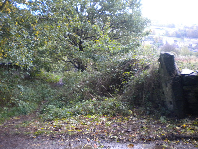
Top of Wood Lane, Holmfirth
Weather for this location
Next 14 daysNearby places
Useful places within 5 km
Own or manage this place?
Claim this listing to keep details accurate, add photos, and highlight what makes it special — free.
Claim this page→How useful was the information on this page?
id: 904249bb-17ca-4329-995b-5d2b2342802f
Wildlife to spot
18,319 records · National Biodiversity Network
Wildlife to spot
18,319 records · National Biodiversity Network🐦Birds46 species
autumnwinter
2025▾
Blue Tit · Robin · Goldfinch · Woodpigeon · Great Tit +41
- Blue TitCyanistes caeruleus
- RobinErithacus rubecula
- GoldfinchCarduelis carduelis
- WoodpigeonColumba palumbus
- Great TitParus major
- WrenTroglodytes troglodytes
- House SparrowPasser domesticus
- BlackbirdTurdus merula
- ChaffinchFringilla coelebs
- MallardAnas platyrhynchos
- DipperCinclus cinclus
- Carrion CrowCorvus corone
- JackdawColoeus monedula
- MagpiePica pica
- Coal TitPeriparus ater
- Rock DoveColumba livia
- Grey HeronArdea cinerea
- GreenfinchChloris chloris
- Black-headed GullChroicocephalus ridibundus
- DunnockPrunella modularis
- House MartinDelichon urbicum
- MoorhenGallinula chloropus
- CormorantPhalacrocorax carbo
- Great Spotted WoodpeckerDendrocopos major
- Long-tailed TitAegithalos caudatus
- PheasantPhasianus colchicus
- RookCorvus frugilegus
- Canada GooseBranta canadensis
- Grey WagtailMotacilla cinerea
- Tawny OwlStrix aluco
- FieldfareTurdus pilaris
- RedwingTurdus iliacus
- Pink-footed GooseAnser brachyrhynchus
- KingfisherAlcedo atthis
- SwiftApus apus
- BlackcapSylvia atricapilla
- Willow WarblerPhylloscopus trochilus
- OystercatcherHaematopus ostralegus
- CurlewNumenius arquata
- Reed BuntingEmberiza schoeniclus
- ChiffchaffPhylloscopus collybita
- KestrelFalco tinnunculus
- StonechatSaxicola rubicola
- LapwingVanellus vanellus
- Black SwanCygnus atratus
- GoosanderMergus merganser
Grey Squirrel
- Grey SquirrelSciurus carolinensis
🐝Insects15 species
springsummer
2025▾
Field Grasshopper · Corizus hyoscyami · Swollen-thighed Beetle · Eristalis tenax · Eristalis pertinax +10
- Field GrasshopperChorthippus brunneus
- Corizus hyoscyamiCorizus hyoscyami
- Swollen-thighed BeetleOedemera nobilis
- Eristalis tenaxEristalis tenax
- Eristalis pertinaxEristalis pertinax
- Helophilus pendulusHelophilus pendulus
🌿Plants2 species
springautumn
2025▾
Common Feather-moss · Shining Crane's-bill
- Common Feather-mossKindbergia praelonga
- Shining Crane's-billGeranium lucidum
Species observations from the last 10 years via NBN Atlas
Events & activities nearby
Switch provider to compare local events, tours and bookable activities.