Getting here
53.60146, -1.75557
Visiting this summer
Seasonal nature notes and what to look for now
Visiting this summer
Seasonal nature notes and what to look for now
- 🌞Midsummer — early morning visits most comfortable; look for deer fawns in quieter clearings
- 🐕Early mornings are best for dog walks in summer — visit before 9am to avoid the heat and find quieter trails
- 🅿️Parking 157m away — 2 car parks within reach
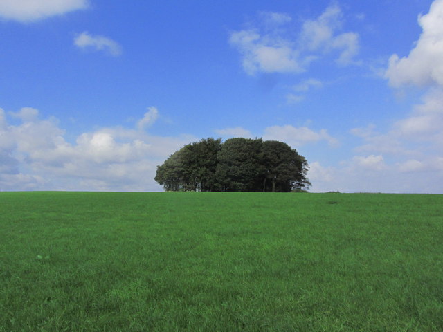
🌤️ Visiting this summer
- 🌞Midsummer — early morning visits most comfortable; look for deer fawns in quieter clearings
- 🐕Early mornings are best for dog walks in summer — visit before 9am to avoid the heat and find quieter trails
- 🅿️Parking 157m away — 2 car parks within reach
Good to know
- £Free to visit — no entry charge
- 🐕Dogs welcome
Best for
Dog walks
Strong match
Dogs allowed — public woodland
Wildlife
Strong match
Deciduous woodland priority habitat
Bird watching
Strong match
Deciduous woodland — woodpeckers, warblers and woodland birds
Foraging
Good match
Deciduous woodland — fungi, berries and wild garlic
Forest walks
Good match
Public woodland
Hiking
Moderate match
Named hiking route nearby: Holme Valley Circular Walk
Trails nearby
Within roughly 5 km🚶Walking
7 signed routes nearby · 13 public paths nearby
Signed route nearbyPublic paths
Walking
Kirklees WayWalking route116 km
Hey Green Circular TrailWalking route
Dearne WayWalking route
Riverside WayWalking route
Holme Valley Circular WalkWalking route
Ludhill Lanepublic footpath · 630 m
🚴Cycling
23 signed routes nearby
Signed route nearby
Cycling
Pennine CyclewayCycling route
West Yorkshire Cycle RouteCycling route
Trans Pennine Trail (Penistone - Kirkburton)Cycling route
Trans Pennine Trail (Penistone - Kirkburton)Cycling route
Main RouteCycling route13 m
Main RouteCycling route1.2 km
Wildlife to spot
Photos
Weather for this location
Loading local forecast…
Nearby places
Useful places within 5 km
Own or manage this place?
Claim this listing to keep details accurate, add photos, and highlight what makes it special — free.
Claim this pageHow was your visit?
How useful was the information on this page?
id: 5885b273-2895-41bd-80b1-2f62376d99bd