🌞Midsummer — early morning visits most comfortable; look for deer fawns in quieter clearings
🐕Early mornings are best for dog walks in summer — visit before 9am to avoid the heat and find quieter trails
🅿️Parking on site — 12 car parks within reach
🌤️ Visiting this summer
🌞Midsummer — early morning visits most comfortable; look for deer fawns in quieter clearings
🐕Early mornings are best for dog walks in summer — visit before 9am to avoid the heat and find quieter trails
🅿️Parking on site — 12 car parks within reach
Good to know
£Free to visit — no entry charge
🐕Dogs welcome
🅿️Parking· Free
Best for
7 activities
🐶
Dog walks
Strong match
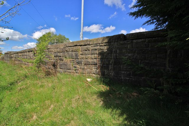
Dogs allowed — public woodland
Free
🦉
Wildlife
Strong match
Lowland fens priority habitat
Free
🦋
Insect spotting
Strong match
Lowland fens — fen dragonflies and rare invertebrates
Free
🦅
Bird watching
Strong match
Lowland fens — specialist fen birds and passage waders
Free
🌿
Foraging
Good match
Deciduous woodland — fungi, berries and wild garlic
Varies
🌲
Forest walks
Good match
Public woodland
Free
Trails nearby
Within roughly 5 km
🚶
Walking
▾
10 signed routes nearby · 34 public paths nearby
Signed route nearbyPublic paths
Mary Towneley LoopWalking route▾
Forms part of Pennine Bridleway National Trail
Named routeRegional walking route
Irwell Sculpture TrailWalking route▾
Named routeRegional walking route
Rochdale WayWalking route▾
Named routeRef RochRegional walking route
Rossendale WayWalking route▾
A high-level route around Bacup, Rawtenstall, Haslingden and Whitworth in the Rossendale Valley, crossing the open moors and farmland of the South Pennines which roughly follows the Rossendale Borough boundary.
Named routeRegional walking route
GM Ringway Stage 12Walking route21.1 km▾
GM Ringway Stage 12 - Norden to Bury
Named routeLength 21.1 kmRegional walking route
Railgatepublic footpath · 102 m▾
Public pathpublic footpathLength 102 mSurface settPath type: residential
New Line Connectionpublic footpath · 22 m▾
Public pathpublic footpathLength 22 mSurface pavedIncline downPath type: steps
Lee's Streetpublic footpath · 67 m▾
Public pathpublic footpathLength 67 mSurface settPath type: residential
🚴
Cycling
▾
23 signed routes nearby
Signed route nearby
Lancashire Cycleway (Southern Loop)Cycling route▾
Named routeRef 91Regional cycle route
Vos Stansfield Road - Cowpe RoadCycling route▾
Named routeLocal cycle route
Cycle routeCycling route▾
Named routeRef 661Local cycle route
Route 92Cycling route▾
Named routeRef 92Regional cycle route
Britannia GreenwayCycling route▾
Named routeLocal cycle route
Whitworth GreenwayCycling route▾
Named routeLocal cycle route
🚵
Mountain biking
▾
2 signed routes nearby
Signed route nearby
Lee Quarry Red RouteMountain bike route▾
Named route
Lee Quarry Black RouteMountain bike route▾
Named route
🐴
Horse riding
▾
6 public paths nearby
Public paths
Height Barn Lanebridleway · 67 m▾
Public pathbridlewayLength 67 mPath type: residential
Stubbylee Lanebridleway · 66 m▾
Public pathbridlewayLength 66 mSurface asphaltPath type: residential
Height Barn Lanebridleway · 27 m▾
Public pathbridlewayLength 27 mPath type: residential
Height Barn Lanebridleway · 156 m▾
Public pathbridlewayLength 156 mSurface pavedPath type: residential
Height Barn Lanebridleway · 28 m▾
Public pathbridlewayLength 28 mPath type: residential