Getting here
53.72446, -1.82687
Visiting this summer
Seasonal nature notes and what to look for now
Visiting this summer
Seasonal nature notes and what to look for now
- 🌞Midsummer — early morning visits most comfortable; look for deer fawns in quieter clearings
- 🐕Early mornings are best for dog walks in summer — visit before 9am to avoid the heat and find quieter trails
- 📍Open access throughout summer — no booking required
🌤️ Visiting this summer
- 🌞Midsummer — early morning visits most comfortable; look for deer fawns in quieter clearings
- 🐕Early mornings are best for dog walks in summer — visit before 9am to avoid the heat and find quieter trails
- 📍Open access throughout summer — no booking required
Good to know
- £Free to visit — no entry charge
- 🐕Dogs welcome
Best for
Dog walks
Strong match
Dogs allowed — public woodland
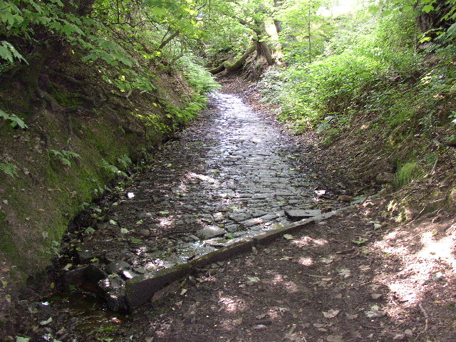
Wildlife
Strong match
Deciduous woodland priority habitat
Bird watching
Strong match
Deciduous woodland — woodpeckers, warblers and woodland birds
Foraging
Good match
Deciduous woodland — fungi, berries and wild garlic
Forest walks
Good match
Public woodland
Hiking
Moderate match
Named hiking route nearby: Brighouse Boundary Walk
Trails nearby
Within roughly 5 km🚶Walking
6 signed routes nearby · 7 public paths nearby
Signed route nearbyPublic paths
Walking
Kirklees WayWalking route116 km
Calderdale WayWalking route
Brighouse Boundary WalkWalking route29 km
Hebble TrailWalking route
Bronte WayWalking route71 km
Sunny Bank Lanepublic footpath · 143 m
🚴Cycling
50 signed routes nearby
Signed route nearby
Cycling
Route 66Cycling route
Route 69Cycling route
Main RouteCycling route534 m
Main RouteCycling route308 m
Main RouteCycling route684 m
Main RouteCycling route85 m
🐴Horse riding
4 public paths nearby
Public paths
Horse riding
Break Neckbridleway · 274 m
Sunny Bank Lanebridleway · 276 m
Wildlife to spot
Photos
Weather for this location
Loading local forecast…
Nearby places
Useful places within 5 km
Own or manage this place?
Claim this listing to keep details accurate, add photos, and highlight what makes it special — free.
Claim this pageHow was your visit?
How useful was the information on this page?
id: 8e2400a9-e335-4057-98b2-77476b111000