Getting here
53.62551, -1.85476
Visiting this summer
Seasonal nature notes and what to look for now
Visiting this summer
Seasonal nature notes and what to look for now
- 🌞Midsummer — early morning visits most comfortable; look for deer fawns in quieter clearings
- ☀️Summer family visits work well here — arrive early and plan for a longer stay
- ☕Cafe Bling — makes this an easy full-day family visit without needing to pack food
🌤️ Visiting this summer
- 🌞Midsummer — early morning visits most comfortable; look for deer fawns in quieter clearings
- ☀️Summer family visits work well here — arrive early and plan for a longer stay
- ☕Cafe Bling — makes this an easy full-day family visit without needing to pack food
Good to know
- £Free to visit — no entry charge
- 🐕Dogs welcome
Best for
Playgrounds
Strong match
playground, parking
Dog walks
Strong match
Dogs allowed — public woodland
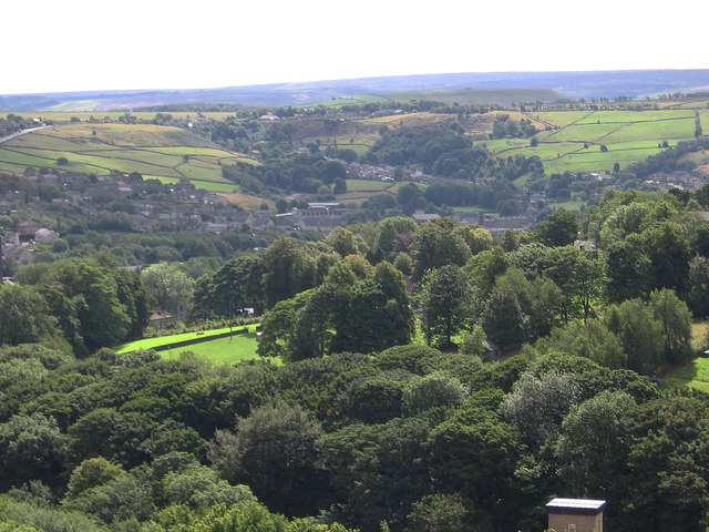
Wildlife
Strong match
Deciduous woodland priority habitat
Family friendly
Strong match
playground
Bird watching
Strong match
Deciduous woodland — woodpeckers, warblers and woodland birds
Foraging
Good match
Deciduous woodland — fungi, berries and wild garlic
Trails nearby
Within roughly 5 km🚶Walking
13 signed routes nearby · 25 public paths nearby
Signed route nearbyPublic paths
Walking
Kirklees WayWalking route116 km
Peak District Boundary Walk Stage 6Walking route13.7 km
Peak District Boundary Walk Stage 5Walking route17 km
Riverside WayWalking route
Standedge TrailWalking route
Lees Mill Lanepublic footpath · 123 m
Flat House Lanepublic footpath · 195 m
Flat House Lanepublic footpath · 69 m
🚴Cycling
49 signed routes nearby
Signed route nearby
Cycling
Pennine CyclewayCycling route
Route 69Cycling route
Birkby Bradley GreenwayCycling route
West Yorkshire Cycle RouteCycling route
Main RouteCycling route299 m
Main RouteCycling route964 m
Wildlife to spot
Photos
Weather for this location
Loading local forecast…
Nearby places
Useful places within 5 km
Own or manage this place?
Claim this listing to keep details accurate, add photos, and highlight what makes it special — free.
Claim this pageHow was your visit?
How useful was the information on this page?
id: 33c8b4f4-761c-4b4b-a7ac-a0cba5d4420a