Getting here
50.65564, -3.35645
Visiting this summer
Seasonal nature notes and what to look for now
Visiting this summer
Seasonal nature notes and what to look for now
- 🌞Midsummer — early morning visits most comfortable; look for deer fawns in quieter clearings
- 🐕Early mornings are best for dog walks in summer — visit before 9am to avoid the heat and find quieter trails
- 🅿️Wheathill 41m away — 6 car parks within reach
🌤️ Visiting this summer
- 🌞Midsummer — early morning visits most comfortable; look for deer fawns in quieter clearings
- 🐕Early mornings are best for dog walks in summer — visit before 9am to avoid the heat and find quieter trails
- 🅿️Wheathill 41m away — 6 car parks within reach
Good to know
- £Free to visit — no entry charge
- 🐕Dogs welcome
Best for
Insect spotting
Strong match
Lowland heathland — silver-studded blue and heath fritillary butterflies
Dog walks
Strong match
Dogs allowed — public woodland
Bird watching
Strong match
Lowland heathland — Dartford warblers, nightjars and stonechats
Wildlife
Strong match
Deciduous woodland priority habitat
Foraging
Good match
Deciduous woodland — fungi, berries and wild garlic
Forest walks
Good match
Public woodland
Trails nearby
Within roughly 5 km🚶Walking
7 signed routes nearby · 8 public paths nearby
Signed route nearbyPublic paths
Walking
East Devon WayWalking route
Otter Valley WalkWalking route20 km
South West Coast Path (Section 43: Babbacombe to Exmouth)Walking route
South West Coast Path (Section 44: Exmouth to Sidmouth)Walking route
Orange WayWalking route560 km
Hayeswood Lanepublic footpath · 44 m
🚴Cycling
60 signed routes nearby
Signed route nearby
Cycling
National Cycle Route 2 Axminster to DawlishCycling route
Main RouteCycling route28 m
Main RouteCycling route505 m
N/ACycling route100 m
Main RouteCycling route697 m
Main RouteCycling route542 m
🐴Horse riding
2 public paths nearby
Public paths
Horse riding
No named routes yet. Public paths are shown on the map.
Wildlife to spot
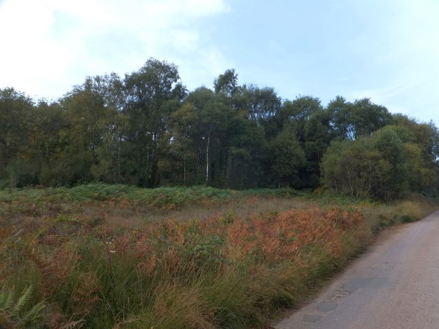
Photos
Weather for this location
Loading local forecast…
Nearby places
Useful places within 5 km
Own or manage this place?
Claim this listing to keep details accurate, add photos, and highlight what makes it special — free.
Claim this pageHow was your visit?
How useful was the information on this page?
id: 9812f4a5-344d-4b4a-8fd8-804a0ae094e1