DogsPlayFamily
Public accessFree entryDogs welcome1 ha
Getting here
51.30957, -2.82604
Visiting this summer
Seasonal nature notes and what to look for now
Visiting this summer
Seasonal nature notes and what to look for now
- 🌞Midsummer — early morning visits most comfortable; look for deer fawns in quieter clearings
- 🐕Early mornings are best for dog walks in summer — visit before 9am to avoid the heat and find quieter trails
- ⛺Camping available here — summer nights at this site are worth planning around
🌤️ Visiting this summer
- 🌞Midsummer — early morning visits most comfortable; look for deer fawns in quieter clearings
- 🐕Early mornings are best for dog walks in summer — visit before 9am to avoid the heat and find quieter trails
- ⛺Camping available here — summer nights at this site are worth planning around
Good to know
- £Free to visit — no entry charge
- 🐕Dogs welcome
CampsiteParking· FreePlayground
Best for
Dog walks
Strong match
Dogs allowed — public woodland
Free
Playgrounds
Strong match
playground, parking
Free
Family friendly
Strong match
playground
Free
Forest walks
Good match
Public woodland
Free
Wildlife
Good match
Native broadleaved woodland
Free
Trails nearby
Within roughly 5 km🚶Walking
5 signed routes nearby · 19 public paths nearby
Signed route nearbyPublic paths
🚶
Walking
Samaritans Way South WestWalking route166 km
Named routeLength 166 kmRegional walking route
West Mendip WayWalking route48 km
Named routeRef WMWLength 48 kmRegional walking route
The Butcombe TrailWalking route74 km
Named routeRef BUTLength 74 kmRegional walking route
The Mendip TrailWalking route
Named routeRef MTRegional walking route
Limestone LinkWalking route58 km
Named routeRef LLLength 58 kmRegional walking route
Newcombe Lanepublic footpath · 76 m
Public pathpublic footpathLength 76 mSurface compactedPath type: residential
Oakridge Closepublic footpath · 22 m
Public pathpublic footpathLength 22 mPath type: residential
🚴Cycling
40 signed routes nearby
Signed route nearby
🚴
Cycling
National Cycle Network Route 26 (Proposed)Cycling route
Named routeRef 26National Cycle Network
Strawberry LineCycling route
Named routeLocal cycle route
Route 26Cycling route
Named routeRef 26National Cycle Network
Main RouteCycling route2.2 km
Named routeRef 26Length 2.2 kmNational Cycle NetworkTraffic-freeSurface unsealedfirm
Main RouteCycling route66 m
Named routeRef 26Length 66 mNational Cycle NetworkTraffic-freeSurface unsealedloose
Main RouteCycling route113 m
Named routeRef 26Length 113 mNational Cycle NetworkOn-roadSurface asphalt
🐴Horse riding
6 public paths nearby
Public paths
🐴
Horse riding
Yadley Lanebridleway · 64 m
Public pathbridlewayLength 64 mPath type: residential
Yadley Waybridleway · 89 m
Public pathbridlewayLength 89 mPath type: residential
Yadley Lanebridleway · 257 m
Public pathbridlewayLength 257 mPath type: residential
Fullers Lanebridleway · 342 m
Public pathbridlewayLength 342 mPath type: residential
Wildlife to spot
Photos
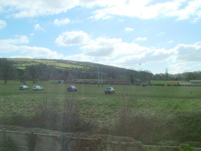
1 / 15
Weather for this location
Loading local forecast…
Nearby places
Useful places within 5 km
✦Dolebury Camp: a large univallate hillfort and associated and later earthworks on Dolebury WarrenHistoric site3.3 km→🦉CHEDDAR VALLEY RAILWAY WALKNature reserve4.7 km→🌱Hannah More ParkUrban park4.9 km→🐄Court Farm Country ParkVisitor farm4.9 km→⚽Memorial Recreation GroundPlaying field200 m→🦉SLADERS LEIGHNature reserve800 m→
Own or manage this place?
Claim this listing to keep details accurate, add photos, and highlight what makes it special — free.
Claim this pageHow was your visit?
How useful was the information on this page?
id: aed7fa29-aebc-4e65-a6de-3587814bcb5a