Getting here
51.38516, -0.42941
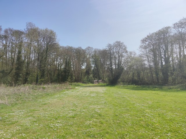
Visiting this summer
Seasonal nature notes and what to look for now
Visiting this summer
Seasonal nature notes and what to look for now
- 🌞Midsummer — early morning visits most comfortable; look for deer fawns in quieter clearings
- 🧺Good picnic destination in summer — open space and facilities for a relaxed day out
- ☕Wilde Brunch — makes this an easy full-day family visit without needing to pack food
🌤️ Visiting this summer
- 🌞Midsummer — early morning visits most comfortable; look for deer fawns in quieter clearings
- 🧺Good picnic destination in summer — open space and facilities for a relaxed day out
- ☕Wilde Brunch — makes this an easy full-day family visit without needing to pack food
Good to know
- £Free to visit — no entry charge
- 🐕Dogs welcome
Best for
Picnic day out
Very strong match
picnic area, café, toilets, car park
Family friendly
Strong match
café, toilets, picnic area
Dog walks
Strong match
Dogs allowed — public woodland
Wildlife
Strong match
Deciduous woodland priority habitat
Bird watching
Strong match
Deciduous woodland — woodpeckers, warblers and woodland birds
Hiking
Good match
Named hiking route nearby: Thames Path
Trails nearby
Within roughly 5 km🚶Walking
9 signed routes nearby · 20 public paths nearby
Signed route nearbyPublic paths
Walking
Locks and Levels (SCC)Walking route
Thames Path - alternateWalking route
avoids sole ferry crossing just before Shepperton
European walking route E2 west, UK, South East EnglandWalking route
Westroute: Stranraer (UK) - Birminhgham (UK) - Calais (FR) - Zoersel (BE) / Eastroute: Stranraer (UK) - Harwich (UK) - Rotterdam (NL) - Zoersel (BE) / Both Routes: Zoersel (BE) - Maastrich (NL) - Luxembourg (LUX) - Lake Geneva (CH) - Nice (FR)
Basingstoke CanalWalking route
Thames PathWalking route296 km
🚴Cycling
63 signed routes nearby
Signed route nearby
Cycling
Brooklands Business Park Accessibility Project (proposed)Cycling route
Hersham station/Walton routeCycling route
EuroVelo 2 - Capitals Route - part United Kingdom 5Cycling route
Route 4Cycling route
National Cycle Network route 4 Chertsey/Weybridge braidCycling route
Walton BridgeCycling route
🚵Mountain biking
1 signed route nearby
Signed route nearby
Mountain biking
Basingstoke Canal TowpathMountain bike route
🐴Horse riding
14 public paths nearby
Public paths
Horse riding
Anzac Waybridleway · 3 m
Anzac Waybridleway · 135 m
Wildlife to spot
Photos
Weather for this location
Loading local forecast…
Nearby places
Useful places within 5 km
Own or manage this place?
Claim this listing to keep details accurate, add photos, and highlight what makes it special — free.
Claim this pageHow was your visit?
How useful was the information on this page?
id: 8aa12d90-ebc6-4311-bb15-65d125af2cb9