Plan your visit
Getting here
51.60207, -1.81855
Visiting this summer
Seasonal nature notes and what to look for now
Visiting this summer
Seasonal nature notes and what to look for now
- 🐦67+ species recorded in this area — summer evenings are best for activity; watch for Magpie and Blue Tit
- 🧺Good picnic destination in summer — open space and facilities for a relaxed day out
- ☕Caffee Vialottie — makes this an easy full-day family visit without needing to pack food
🌤️ Visiting this summer
- 🐦67+ species recorded in this area — summer evenings are best for activity; watch for Magpie and Blue Tit
- 🧺Good picnic destination in summer — open space and facilities for a relaxed day out
- ☕Caffee Vialottie — makes this an easy full-day family visit without needing to pack food
Good to know
- £Free to visit — no entry charge
- 🐕Dogs welcome
Best for
Picnic day out
Very strong match
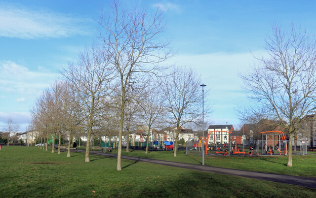
picnic area, café, car park; Urban park — open green space
Family friendly
Very strong match
playground, café, picnic area; Urban park — family destination
Bird watching
Very strong match
Birds — Magpie, Blue Tit, Blackbird +64 more · last seen 2026
Playgrounds
Strong match
playground, café, parking
Wildlife
Strong match
Birds — Magpie, Blue Tit, Blackbird +64 more · last seen 2026
Seasonal nature
Strong match
Plants — Blackthorn, Himalayan Balsam, Purple-loosestrife +30 more · last seen 2025
Trails nearby
Within roughly 5 km🚶Walking
6 signed routes nearby · 14 public paths nearby
Signed route nearbyPublic paths
Walking
The Roman WayWalking route274.5 km
Millennium TrailWalking route
Thames PathWalking route296 km
Thames & Severn WayWalking route69.8 km
Linking the Severn to the Thames following the route of the Stroudwater Navigation and Thames & Severn Canal as closely as possible using public rights of way. As the canals are restored, it will be updated to use the reinstated towpath wherever possible.
The Latton LoopWalking route
Redhouse Gardenspublic footpath · 54 m
Redhouse Gardenspublic footpath · 71 m
🚴Cycling
44 signed routes nearby
Signed route nearby
Cycling
Mercian WayCycling route
Route (45)Cycling route
National Cycle Network link route between NCN 45 and Swindon station
Eastern FlyerCycling route
Tadpole RoundCycling route9.1 km
(45)Cycling route
National Cycle Network link route between NCN 45 and Swindon station
Haydon RoundCycling route11.8 km
🐴Horse riding
20 public paths nearby
Public paths
Horse riding
Haydon End Lanebridleway · 426 m
Wildlife to spot
Photos
Weather for this location
Loading local forecast…
Nearby places
Useful places within 5 km