Birds — Black-headed Gull, Magpie, Woodpigeon +63 more · last seen 2026; Birds — Black-headed Gull, Magpie, Woodpigeon +63 more · last seen 2026
Free
🐶
Dog walks
Strong match
Dogs allowed with public access
Free
🦋
Insect spotting
Strong match
Insects — Bumblebee, Dock Bug, Common Darter +19 more · last seen 2025; Insects — Bumblebee, Dock Bug, Common Darter +19 more · last seen 2025
Free
🌿
Foraging
Good match
Deciduous woodland — fungi, berries and wild garlic
Varies
🛝
Family friendly
Good match
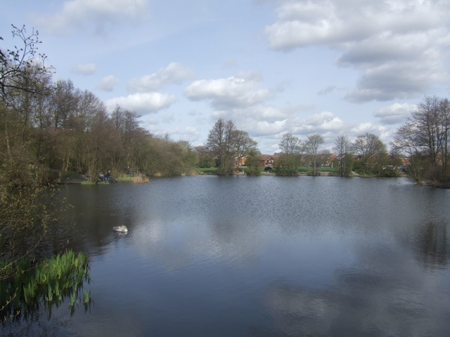
Urban park — family destination
Free
Trails nearby
Within roughly 5 km
🚶
Walking
▾
15 signed routes nearby
Signed route nearby
Monarch's WayWalking route990 km▾
approximate route of Charles II's escape
Named routeRef MWLength 990 kmRegional walking route
Beacon WayWalking route40 km▾
Starting at Sandwell Valley via the outskirts of Birmingham and the countryside of Walsall into Staffordshire. Take in the Forest of Mercia, lakes, nature reserves, woods, and canal banks. Named after Barr Beacon, one of the highest hills in this area.
Named routeLength 40 kmPoint-to-pointRegional walking route
Forest of Mercia Timberland Trail (Short Route)Walking route12.9 km▾
8-mile circular route based on PRoW and canal towpaths, which would've been used by local miners, iron workers, and farmers. Car Parking at the start on Wood Lane.
Named routeRef FoMTTLength 12.9 kmRound tripLocal walking route
Forest of Mercia Timberland Trail (Long Route)Walking route16 km▾
10-mile circular route based on PRoW and canal towpaths, which would've been used by local miners, iron workers, and farmers. Car Parking at start on Wood Lane.
Named routeRef FoMTTLength 16 kmRound tripLocal walking route
Walsall Walk of ArtWalking route6.5 km▾
A specially designed circular canalside walk, starting from Walsall’s New Art Gallery, passing through changing landscapes.
Distance: 4 miles/6.5 km(approx)
Duration: 80 mins(approx)
Named routeRef WWoALength 6.5 kmRound tripLocal walking route
🚴
Cycling
▾
35 signed routes nearby
Signed route nearby
Walsall Local Cycle NetworkCycling route▾
Walsall Local Cycle Network
Named routeLocal cycle route
Sneyd Junction to Horseley Fields JunctionCycling route9.6 km▾
Canalside route following the Wyrley & Essington, taking New Cross Bridge, where the towpath changes to the other side of the canal.
Distance: 6 miles/9.6 km (approx)
Duration: 60 min (approx)
Named routeLength 9.6 kmPoint-to-pointLocal cycle route
Horseley Fields Junction to Factory JunctionCycling route8 km▾
This route begins and ends with a pub, and travels through Coseley Tunnel. To avoid the tunnel, leave the canal at Bridgewater Drive and return via Central Drive.
Distance: 5 miles/8 km (approx)
Duration: 45 min (approx)
Named routeLength 8 kmPoint-to-pointLocal cycle route
Named routeRef Starley NetworkLength 804 kmRegional cycle route
Sneyd Junction to Cannock Extension CanalCycling route8.8 km▾
A semi-rural route following the curves of the canal, until it opens out into parkland at the Cannock Extension.
Distance: 5.5 miles/8.8 km (approx)
Duration: 45 min (approx)
Named routeLength 8.8 kmPoint-to-pointLocal cycle route