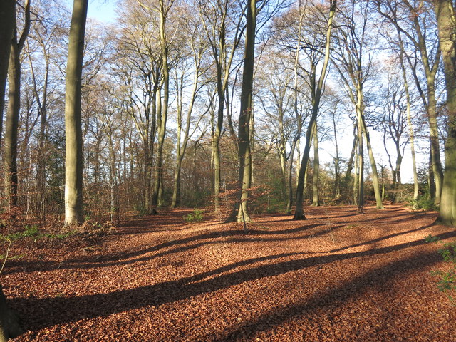
Buckinghamshire Grim's Ditch: 1.13km long section from Grymsdyke Manor to RAF High Wycombe
Plan your visit
Getting here
51.68544, -0.80339
Visiting this summer
Seasonal nature notes and what to look for now
Visiting this summer
Seasonal nature notes and what to look for now
- 🐦44+ species recorded in this area — summer evenings are best for activity; watch for Woodpigeon and Magpie
- ✦Historic character is a year-round quality here — summer brings its own atmosphere to the setting
- 🐕Dogs welcome — bring water in summer; the site has enough space to find shade on hot days
🌤️ Visiting this summer
- 🐦44+ species recorded in this area — summer evenings are best for activity; watch for Woodpigeon and Magpie
- ✦Historic character is a year-round quality here — summer brings its own atmosphere to the setting
- 🐕Dogs welcome — bring water in summer; the site has enough space to find shade on hot days
Good to know
- £Free to visit — no entry charge
- 🐕Dogs welcome
Best for
Bird watching
Very strong match
Birds — Woodpigeon, Magpie, Carrion Crow +41 more · last seen 2025; Deciduous woodland — woodpeckers, warblers and woodland birds
Wildlife
Strong match
Birds — Woodpigeon, Magpie, Carrion Crow +41 more · last seen 2025; Deciduous woodland priority habitat
Heritage
Strong match
Historic site with public access
Insect spotting
Good match
Insects — Southern Hawker, Carabus auronitens, Harlequin Ladybird +8 more · last seen 2025
Dog walks
Good match
Dogs allowed with public access
Foraging
Good match
Deciduous woodland — fungi, berries and wild garlic
Trails nearby
Within roughly 5 km🚶Walking
25 signed routes nearby · 19 public paths nearby
Signed route nearbyPublic paths
Walking
The RidgewayWalking route140 km
The Chiltern WayWalking route275 km
A waymarked long-distance footpath in southern England
Midshires WayWalking route370 km
Multi-use trail links the Ridgeway National Trail with the Trans Pennine Trail
Outer Aylesbury RingWalking route
Risborough Purple RouteWalking route
🚴Cycling
23 signed routes nearby
Signed route nearby
Cycling
High Wycombe East-West Cycle RouteCycling route
NCN National Route 57Cycling route
Chilterns CyclewayCycling route
Main RouteCycling route300 m
Main RouteCycling route1.1 km
Main RouteCycling route4.2 km
🚵Mountain biking
2 signed routes nearby
Signed route nearby
Mountain biking
Bledlow Circular RideMountain bike route14 km
A 10 mile circular ride through Chiltern countryside with fine open views. Mainly on bridleways, byways and quiet lanes. Waymarked. Pub on route.
Icknield Way Cycle TrailMountain bike route226 km
This is the off-road or mountain cycling route of the Icknield Way Trail.
Wildlife to spot
Photos
Weather for this location
Loading local forecast…
Nearby places
Useful places within 5 km