Plan your visit
Getting here
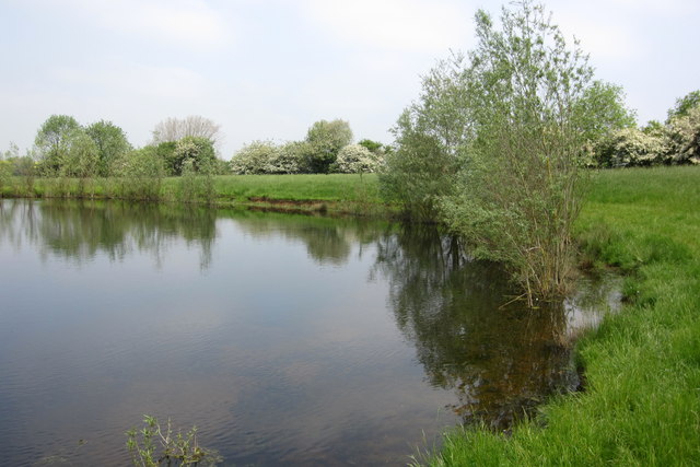
52.09427, -0.74944
Visiting this summer
Seasonal nature notes and what to look for now
Visiting this summer
Seasonal nature notes and what to look for now
- 🐦94+ species recorded in this area — summer evenings are best for activity; watch for Raven and Carrion Crow
- 🐕Early mornings are best for dog walks in summer — visit before 9am to avoid the heat and find quieter trails
- 🅿️Parking 344m away — 2 car parks within reach
🌤️ Visiting this summer
- 🐦94+ species recorded in this area — summer evenings are best for activity; watch for Raven and Carrion Crow
- 🐕Early mornings are best for dog walks in summer — visit before 9am to avoid the heat and find quieter trails
- 🅿️Parking 344m away — 2 car parks within reach
Good to know
- £Free to visit — no entry charge
- 🐕Dogs welcome
Best for
Bird watching
Very strong match
Birds — Raven, Carrion Crow, Woodpigeon +91 more · last seen 2026; Birds — Raven, Carrion Crow, Woodpigeon +91 more · last seen 2026
Wildlife
Very strong match
Multi-group wildlife — Amphibians, Birds; Multi-group wildlife — Amphibians, Birds
Dog walks
Strong match
Dogs allowed — public woodland
Foraging
Good match
Deciduous woodland — fungi, berries and wild garlic; Plants — Dandelion, Common Nettle, Red Dead-nettle
Insect spotting
Good match
Insects — Emperor Dragonfly, Syrphus ribesii, Cheilosia impressa +6 more · last seen 2025; Insects — Emperor Dragonfly, Syrphus ribesii, Cheilosia impressa +6 more · last seen 2025
Forest walks
Good match
Public woodland
Trails nearby
Within roughly 5 km🚶Walking
8 signed routes nearby · 1 public path nearby
Signed route nearbyPublic paths
Walking
Midshires WayWalking route370 km
Multi-use trail links the Ridgeway National Trail with the Trans Pennine Trail
Grand Union Canal WalkWalking route
Napton to Coy Carp section
Milton Keynes Boundary WalkWalking route
Ouse Valley Circular WalkWalking route
Three Shires WayWalking route79 km
49 mile route liking the Swan's Way to the Grafham Water circular walk, which it now incorporates, made up largely of bridleways.
🚴Cycling
60 signed routes nearby
Signed route nearby
Cycling
NCN 51Cycling route
MK Redway Super Route V10Cycling route
MK Redway Super Route H6Cycling route
MK Redway Super Route H5Cycling route
MK Redway Super Route H4Cycling route
MK Redway Super Route Railway WalkCycling route
🐴Horse riding
6 public paths nearby
Public paths
Horse riding
Lakes Lanebyway open to all traffic · 727 m
Wildlife to spot
Photos
Weather for this location
Loading local forecast…
Nearby places
Useful places within 5 km
Own or manage this place?
Claim this listing to keep details accurate, add photos, and highlight what makes it special — free.
Claim this pageHow was your visit?
How useful was the information on this page?
id: 1752a30b-acc5-44c4-b3d5-3174620492b4