Plan your visit
Getting here
52.31488, -1.74228
Visiting this summer
Seasonal nature notes and what to look for now
Visiting this summer
Seasonal nature notes and what to look for now
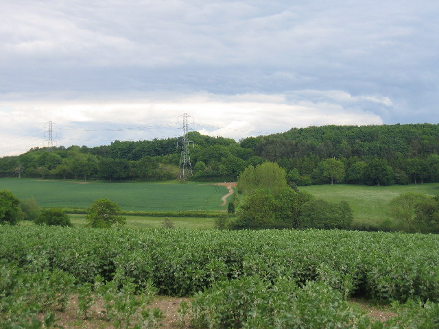
- ☀️June — canopy now fully closed, creating cool dappled shade even on warm days
- 🌿Foraging is at its best in summer here
- 🐕Dogs welcome — bring water in summer; the site has enough space to find shade on hot days
🌤️ Visiting this summer
- ☀️June — canopy now fully closed, creating cool dappled shade even on warm days
- 🌿Foraging is at its best in summer here
- 🐕Dogs welcome — bring water in summer; the site has enough space to find shade on hot days
Good to know
- £Free to visit — no entry charge
- 🐕Dogs welcome
- 🌿Ancient woodland — rare wildlife habitat
Best for
Wildlife
Very strong match
Multi-group wildlife — Amphibians, Birds, Mammals; Multi-group wildlife — Amphibians, Birds, Mammals
Bird watching
Very strong match
Birds — Jackdaw, Mallard, Woodpigeon +70 more · last seen 2025; Birds — Jackdaw, Mallard, Woodpigeon +70 more · last seen 2025
Seasonal nature
Strong match
Ancient woodland — bluebells, fungi and autumn colour; Plants — Meadow Vetchling, Lesser Stitchwort, Creeping Cinquefoil +67 more · last seen 2020
Foraging
Strong match
Plants — Common Nettle, Bramble, Common Sorrel +9 more foraging species; Deciduous woodland — fungi, berries and wild garlic
Dog walks
Strong match
Dogs allowed — public woodland
Insect spotting
Strong match
Insects — Gatekeeper, Green-veined White, Speckled Wood +17 more · last seen 2025; Insects — Gatekeeper, Green-veined White, Speckled Wood +17 more · last seen 2025
Trails nearby
Within roughly 5 km🚶Walking
17 signed routes nearby · 15 public paths nearby
Signed route nearbyPublic paths
Walking
Monarch's WayWalking route990 km
approximate route of Charles II's escape
Heart of England WayWalking route
Grand Union Canal WalkWalking route234 km
Birmingham to Napton section
Millennium Way (Warks)Walking route100 km
A 100 mile long distance footpath, across the centre of England from Pershore to Chipping Warden via Meriden.
Rail Trail: Bearley > ClaverdonWalking route7.6 km
A 4.75-mile walk to discover ancient villages, churches and leafy woodland amid some truly glorious Warwickshire countryside. Duration: 2.5 hours Distance: 4.75 miles
Potato Lanepublic footpath · 698 m
Coppice Cornerpublic footpath · 66 m
Potato Lanepublic footpath · 559 m
🚴Cycling
1 signed route nearby
Cycling
Route SRCycling route
🐴Horse riding
5 public paths nearby
Public paths
Horse riding
Coppice Woodbridleway · 427 m
Wildlife to spot
Photos
Weather for this location
Loading local forecast…
Nearby places
Useful places within 5 km
How was your visit?
How useful was the information on this page?
id: 5eab99d5-b7ed-4c94-a9a9-9042c3b9a836