Getting here
55.21745, -6.53173
Visiting this summer
Seasonal nature notes and what to look for now
Visiting this summer
Seasonal nature notes and what to look for now
- 🌞Midsummer — early morning visits most comfortable; look for deer fawns in quieter clearings
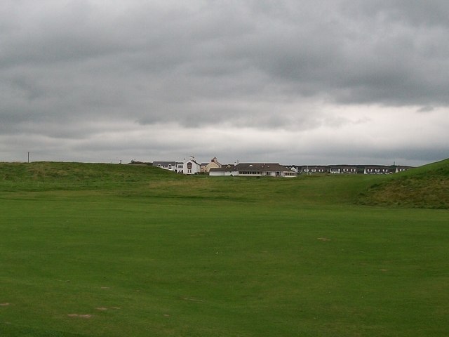
- ⛳Golf is at its best in summer here
- 🐕Dogs welcome — bring water in summer; the site has enough space to find shade on hot days
🌤️ Visiting this summer
- 🌞Midsummer — early morning visits most comfortable; look for deer fawns in quieter clearings
- ⛳Golf is at its best in summer here
- 🐕Dogs welcome — bring water in summer; the site has enough space to find shade on hot days
Good to know
- 🐕Dogs welcome
Best for
Golf
Very strong match
Golf course
Trails nearby
Within roughly 5 km🚶Walking
5 signed routes nearby
Signed route nearby
Walking
Causeway Coast WayWalking route53 km
Green Trail, Giant's CausewayWalking route700 m
Accessible trail with views of the Giant's Causeway along the way and on most days you can see Scotland and the Inishowen Peninsula. Compacted path with some loose bits of aggregate, steep in places and tarmac road.
Blue Trail, Giant's CausewayWalking route1.2 km
Formal hard-core footpath with kerbstones, steep gradient in places, some rest stops with seats. The causeway stones can be slippery and dangerous when wet – always heed the advice of our rangers. There are also occasional rock falls.
Red Trail, Giant's CausewayWalking route3.7 km
Formal path, hard core gravel surfaces, uneven in places, single track in places, 162 steep stone steps ('Shepherd's Steps') with handrail, uneven and with various depths. Please be aware of unfenced cliff edges, high winds, steep steps and rock falls.
Yellow Trail, Giant's CausewayWalking route7.7 km
A section of the Causeway Coast Way managed by the National Trust, starting at Runkerry Head & ending at Hamilton's Seat. The walk follows the clifftop (not the shoreline). Variety of surfaces, including hardcore, grass & gravel with steps.
🚴Cycling
7 signed routes nearby
Signed route nearby
Cycling
National Cycle Network National Route 93Cycling route
"National Route 93 of the National Cycle Network is formed of sections of traffic-free route between Derry and Larne." (most of the route was de-designated in Summer 2020)
Causeway Coast cycle routeCycling route
"This stunning 23-mile cycle route runs along the North Atlantic coast from Castlerock to the Giant's Causeway via Coleraine and takes in part of National Cycle Network Route 93. "
Main RouteCycling route60 m
Main RouteCycling route214 m
Main RouteCycling route482 m
Main RouteCycling route451 m
Wildlife to spot
Photos
Weather for this location
Loading local forecast…
Nearby places
Useful places within 5 km
Own or manage this place?
Claim this listing to keep details accurate, add photos, and highlight what makes it special — free.
Claim this pageHow was your visit?
How useful was the information on this page?
id: faaf4293-e7a4-4ca2-9a6b-ac9cd7dbfd87