Plan your visit
Getting here
50.59327, -4.92080
Visiting this summer
Seasonal nature notes and what to look for now
▾
Visiting this summer
Seasonal nature notes and what to look for now
- 🐦60+ species recorded in this area — summer evenings are best for activity; watch for Herring Gull and Stonechat
- ✦Historic character is a year-round quality here — summer brings its own atmosphere to the setting
- 🐕Dogs welcome — bring water in summer; the site has enough space to find shade on hot days
🌤️ Visiting this summer
- 🐦60+ species recorded in this area — summer evenings are best for activity; watch for Herring Gull and Stonechat
- ✦Historic character is a year-round quality here — summer brings its own atmosphere to the setting
- 🐕Dogs welcome — bring water in summer; the site has enough space to find shade on hot days
Best for
10 activitiesBird watching
Very strong match
Birds — Herring Gull, Stonechat, Linnet +57 more · last seen 2026; Ancient woodland — owls, woodpeckers, warblers
Ancient woodland
Very strong match
Ancient woodland — continuous woodland since before 1600
Wildlife
Strong match
Birds — Herring Gull, Stonechat, Linnet +57 more · last seen 2026; Ancient woodland
Heritage
Strong match
Historic site with public access
Bluebell walks
Strong match
Ancient woodland — native bluebell habitat
Seasonal nature
Strong match
Ancient woodland — bluebells, fungi and autumn colour
Trails nearby
Within roughly 5 km🚶Walking
▾8 signed routes nearby · 14 public paths nearby
Signed route nearbyPublic paths
Walking
South West Coast Path (Section 14: Port Isaac to Padstow)Walking route▾
South West Coast Path (Section 15: Padstow to Porthcothan)Walking route▾
King Charles III England Coast Path: Marsland Mouth to NewquayWalking route▾
Pentire headland walk, North CornwallWalking route5.4 km▾
The route follows natural, grassy tracks and coastpaths which can be uneven in places. There are several sections that involve steps and the path can get muddy after heavy rain. Be aware of cliff edges and keep children and dogs supervised.
Pentire and Baby Bay circular walk, North CornwallWalking route5.1 km▾
Mostly moderate terrain, following inland farmland footpaths as well as the South West Coast Path, but with some steep sections. Surfaces can be uneven or muddy and sturdy footwear is advised.
Wildlife to spot
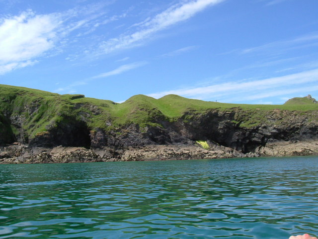
Photos
22 photos from nearby open sources
▾
Photos
22 photos from nearby open sources
Photos
Good to know
- £Free to visit — no entry charge
- 🐕Dogs welcome
Weather for this location
Next 14 daysLoading local forecast…
Nearby places
Useful places within 5 km