Ancient woodland — bluebells, fungi and autumn colour; Plants — Lesser Stitchwort, White Bryony, Yarrow +7 more · last seen 2023
Free
🦋
Insect spotting
Strong match
Insects — 7-spot Ladybird, Red-legged Shieldbug, Anthicus antherinus +86 more · last seen 2026; Insects — 7-spot Ladybird, Red-legged Shieldbug, Anthicus antherinus +86 more · last seen 2026
Free
🐶
Dog walks
Strong match
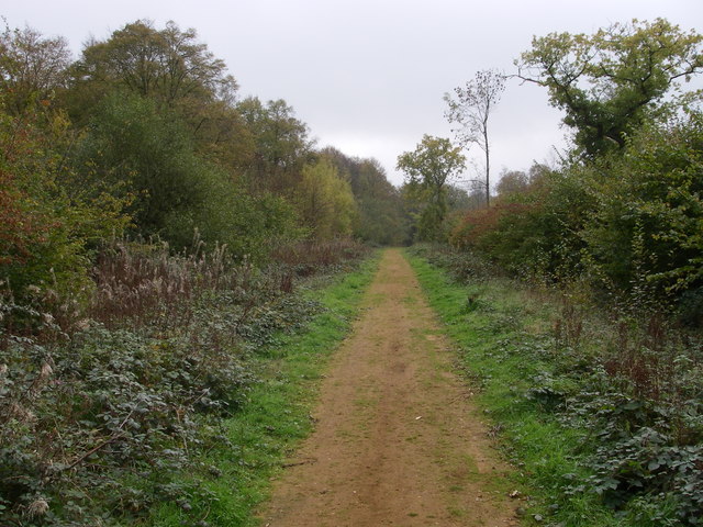
Dogs allowed — public woodland
Free
🌿
Foraging
Good match
Deciduous woodland — fungi, berries and wild garlic; Plants — Elder, White Dead-nettle, Red Dead-nettle
Varies
Trails nearby
Within roughly 5 km
🚶
Walking
▾
6 signed routes nearby · 45 public paths nearby
Signed route nearbyPublic paths
Margery Allingham WalkWalking route9.5 km▾
Named routeLength 9.5 kmLocal walking route
Colne Valley PathWalking route37 km▾
Named routeLength 37 kmLocal walking route
Round ChapelWalking route▾
Circular route around Chappel. Whilst it is not signed, it has been recorded on OSM in 'Name' fields for some time.
Named routeLocal walking route
Paycocke's Tudor Coggeshall Walk, Paycocke's House and GardenWalking route4 km▾
Paths across fields may be muddy after wet weather, so we advise wearing suitable footwear. Take care when crossing roads especially where there's no footpath along The Gravel. Expect a very gradual uphill approach along Grange Hill and East Street.
Named routeLength 4 kmDuration 01:00Round tripLocal walking route
Stour Valley Path part 2Walking route▾
Named routeRegional walking route
GT 4public footpath · 94 m▾
Public pathpublic footpathLength 94 mPath type: footway
GT 10public footpath · 369 m▾
Public pathpublic footpathLength 369 mPath type: footway
Chalkeney Mill Roadpublic footpath · 9 m▾
Public pathpublic footpathLength 9 mSurface pavedPath type: service
🚴
Cycling
▾
4 signed routes nearby
Signed route nearby
Route 13Cycling route▾
Named routeRef 13National Cycle Network
Main RouteCycling route529 m▾
Named routeRef 13Length 529 mNational Cycle NetworkOn-roadSurface asphalt
Main RouteCycling route22 m▾
Named routeRef 13Length 22 mNational Cycle NetworkOn-roadSurface asphalt
Main RouteCycling route6.6 km▾
Named routeRef 13Length 6.6 kmNational Cycle NetworkOn-roadSurface asphalt
🐴
Horse riding
▾
5 public paths nearby
Public paths
Fen Hillrestricted byway · 317 m▾
Public pathrestricted bywayLength 317 mPath type: track
Sere Lanerestricted byway · 423 m▾
Public pathrestricted bywayLength 423 mPath type: track
Ryeland Lanerestricted byway · 459 m▾
Public pathrestricted bywayLength 459 mPath type: track
Fen Hillrestricted byway · 276 m▾
Public pathrestricted bywayLength 276 mPath type: track
Sere Lanerestricted byway · 295 m▾
Public pathrestricted bywayLength 295 mPath type: track