Getting here
53.31741, -1.94439
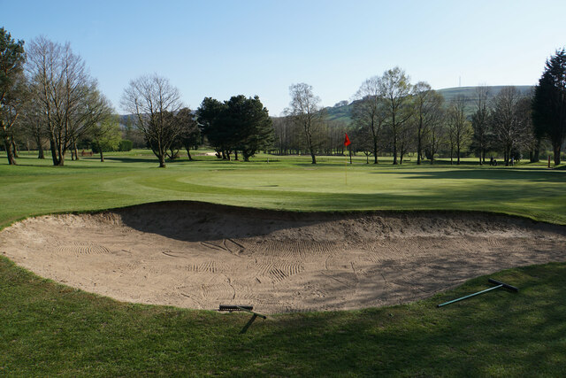
Visiting this summer
Seasonal nature notes and what to look for now
Visiting this summer
Seasonal nature notes and what to look for now
- 🌞Midsummer — early morning visits most comfortable; look for deer fawns in quieter clearings
- 🌿Foraging is at its best in summer here
- 🐕Dogs welcome — bring water in summer; the site has enough space to find shade on hot days
🌤️ Visiting this summer
- 🌞Midsummer — early morning visits most comfortable; look for deer fawns in quieter clearings
- 🌿Foraging is at its best in summer here
- 🐕Dogs welcome — bring water in summer; the site has enough space to find shade on hot days
Good to know
- £Free to visit — no entry charge
- 🐕Dogs welcome
Best for
Wildlife
Very strong match
Multi-group wildlife — Amphibians, Birds, Mammals; Multi-group wildlife — Amphibians, Birds, Mammals
Bird watching
Very strong match
Birds — Robin, Blackbird, Woodpigeon +54 more · last seen 2026; Birds — Robin, Blackbird, Woodpigeon +54 more · last seen 2026
Foraging
Strong match
Plants — Elder, Common Nettle, Hazel +26 more foraging species; Deciduous woodland — fungi, berries and wild garlic
Insect spotting
Strong match
Insects — 7-spot Ladybird, Syrphus, Harlequin Ladybird +75 more · last seen 2026; Insects — 7-spot Ladybird, Syrphus, Harlequin Ladybird +75 more · last seen 2026
Seasonal nature
Strong match
Plants — Holly, Ivy, Red Campion +136 more · last seen 2026; Plants — Holly, Ivy, Red Campion +136 more · last seen 2026
Dog walks
Strong match
Dogs allowed — public woodland
Trails nearby
Within roughly 5 km🚶Walking
9 signed routes nearby · 20 public paths nearby
Signed route nearbyPublic paths
Walking
Midshires WayWalking route370 km
Multi-use trail links the Ridgeway National Trail with the Trans Pennine Trail
Mount Famine, South Head and Brown Knoll (Ethels), High PeakWalking route10.9 km
Broken BanksWalking route
Goyt WayWalking route16 km
Peak District Boundary Walk Stage 20Walking route
Woodside Farm Lanepublic footpath · 284 m
Woodside Farm Lanepublic footpath · 104 m
🚴Cycling
5 signed routes nearby
Signed route nearby
Cycling
Peak Forest Tramway TrailCycling route
Peak Forest CanalCycling route
High Peak CyclewayCycling route
Buxton Cycle Route 1Cycling route
Pennine CyclewayCycling route
🚵Mountain biking
1 signed route nearby
Signed route nearby
Mountain biking
Great North Trail (Peak District and South Pennines)Mountain bike route130.4 km
Wildlife to spot
Photos
Weather for this location
Loading local forecast…
Nearby places
Useful places within 5 km
Own or manage this place?
Claim this listing to keep details accurate, add photos, and highlight what makes it special — free.
Claim this pageHow was your visit?
How useful was the information on this page?
id: e7fa32cb-4bec-4cbe-aa84-447957cda55a