🐦53+ species recorded in this area — summer evenings are best for activity; watch for Carrion Crow and Woodpigeon
☀️Summer family visits work well here — arrive early and plan for a longer stay
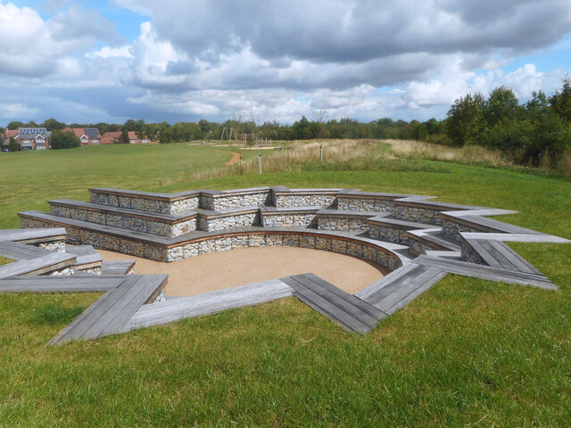
🛝Playground on site — built-in entertainment for younger visitors alongside the wider site
🌤️ Visiting this summer
🐦53+ species recorded in this area — summer evenings are best for activity; watch for Carrion Crow and Woodpigeon
☀️Summer family visits work well here — arrive early and plan for a longer stay
🛝Playground on site — built-in entertainment for younger visitors alongside the wider site
Good to know
£Free to visit — no entry charge
🐕Dogs welcome
🅿️Parking🛝Playground
Best for
7 activities
🦅
Bird watching
Very strong match
Birds — Carrion Crow, Woodpigeon, Yellowhammer +50 more · last seen 2026
Free
🦉
Wildlife
Strong match
Birds — Carrion Crow, Woodpigeon, Yellowhammer +50 more · last seen 2026
Free
🦋
Insect spotting
Strong match
Insects — Hebrew Character, 7-spot Ladybird, Early Grey +167 more · last seen 2026
Free
🎠
Playgrounds
Strong match
playground, parking
Free
🛝
Family friendly
Strong match
playground; Urban park — family destination
Free
🐶
Dog walks
Strong match
Dogs allowed with public access
Free
Trails nearby
Within roughly 5 km
🚶
Walking
▾
2 signed routes nearby · 4 public paths nearby
Signed route nearbyPublic paths
The RidgewayWalking route140 km▾
Named routeRef RWLength 140 kmNational walking route
The Vale WayWalking route43 km▾
Route through the Vale of White Horse in Oxfordshire, UK. (27 miles).
Named routeLength 43 kmLocal walking route
Jubilee Bridgepublic footpath · 92 m▾
Public pathpublic footpathLength 92 mSurface asphaltPath type: footway
🚴
Cycling
▾
48 signed routes nearby
Signed route nearby
National Cycle Network Route 5Cycling route▾
Named routeRef 5National Cycle Network
Round Berkshire Cycle RouteCycling route▾
Named routeRegional cycle route
Route 544Cycling route▾
Named routeRef 544National Cycle Network
Wantage to Harwell Campus (Icknield Greenway)Cycling route▾
Named routeRef 1Local cycle route
Didcot to Culham Science CentreCycling route▾
Named routeRef 8Local cycle route
Didcot to Milton ParkCycling route▾
Named routeRef 6Local cycle route
🚵
Mountain biking
▾
1 signed route nearby
Signed route nearby
King Alfred's WayMountain bike route▾
King Alfreds Way is 350km (220 miles) off road route designed to be ridden clockwise. It starts & ends in Winchester. It is suitable for gravel or cross-country bikes.
Named routeRegional cycle route
🐴
Horse riding
▾
7 public paths nearby
Public paths
The Paddockbridleway · 11 m▾
Public pathbridlewayLength 11 mSurface asphaltPath type: residential
Upper Farm Roadbyway open to all traffic · 1.2 km▾
Public pathbyway open to all trafficLength 1.2 kmSurface asphaltPath type: service
Upper Farm Roadbyway open to all traffic · 54 m▾
Public pathbyway open to all trafficLength 54 mSurface asphaltPath type: service