Getting here
51.64684, -1.14839
Visiting this summer
Seasonal nature notes and what to look for now
Visiting this summer
Seasonal nature notes and what to look for now
- 🐦80+ species recorded in this area — summer evenings are best for activity; watch for Lesser Black-backed Gull and Woodpigeon
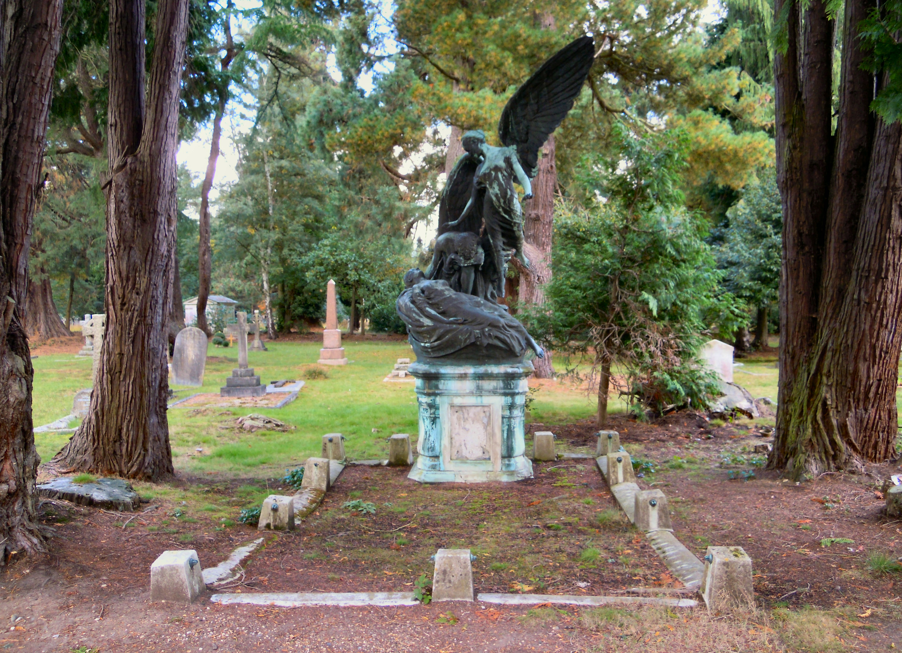
- ✦Historic character is a year-round quality here — summer brings its own atmosphere to the setting
- 🐕Dogs welcome — bring water in summer; the site has enough space to find shade on hot days
🌤️ Visiting this summer
- 🐦80+ species recorded in this area — summer evenings are best for activity; watch for Lesser Black-backed Gull and Woodpigeon
- ✦Historic character is a year-round quality here — summer brings its own atmosphere to the setting
- 🐕Dogs welcome — bring water in summer; the site has enough space to find shade on hot days
Good to know
- £Free to visit — no entry charge
- 🐕Dogs welcome
Best for
Bird watching
Very strong match
Birds — Lesser Black-backed Gull, Woodpigeon, Tufted Duck +77 more · last seen 2026; Birds — Lesser Black-backed Gull, Woodpigeon, Tufted Duck +77 more · last seen 2026
Wildlife
Very strong match
Multi-group wildlife — Birds, Mammals; Multi-group wildlife — Birds, Mammals
Heritage
Strong match
Historic site with public access
Waterside walks
Good match
Grazing marsh and ditches — waterside walking
Dog walks
Good match
Dogs allowed with public access
Foraging
Good match
Deciduous woodland — fungi, berries and wild garlic
Trails nearby
Within roughly 5 km🚶Walking
7 signed routes nearby
Signed route nearby
Walking
Oxford Green Belt WayWalking route87 km
Shakespeare's WayWalking route235 km
The Roman WayWalking route274.5 km
European walking route E2 west, UK, South East EnglandWalking route
Westroute: Stranraer (UK) - Birminhgham (UK) - Calais (FR) - Zoersel (BE) / Eastroute: Stranraer (UK) - Harwich (UK) - Rotterdam (NL) - Zoersel (BE) / Both Routes: Zoersel (BE) - Maastrich (NL) - Luxembourg (LUX) - Lake Geneva (CH) - Nice (FR)
Hanson WayWalking route
🚴Cycling
19 signed routes nearby
Signed route nearby
Cycling
National Cycle Network Route 5Cycling route
Didcot to Culham Science CentreCycling route
Hanson WayCycling route
Chilterns CyclewayCycling route
Main RouteCycling route37 m
Main RouteCycling route390 m
🐴Horse riding
7 public paths nearby
Public paths
Horse riding
Priests' Moor Lanebridleway · 728 m
Priests' Moor Lanebridleway · 308 m
Pain Waybridleway · 411 m
Pain Waybridleway · 466 m
Wildlife to spot
Photos
Weather for this location
Loading local forecast…
Nearby places
Useful places within 5 km
Own or manage this place?
Claim this listing to keep details accurate, add photos, and highlight what makes it special — free.
Claim this pageHow was your visit?
How useful was the information on this page?
id: b846985a-b0f2-4877-9aec-fd7ff478deae