Plan your visit
Getting here
50.84224, -0.44354
Visiting this summer
Seasonal nature notes and what to look for now
Visiting this summer
Seasonal nature notes and what to look for now
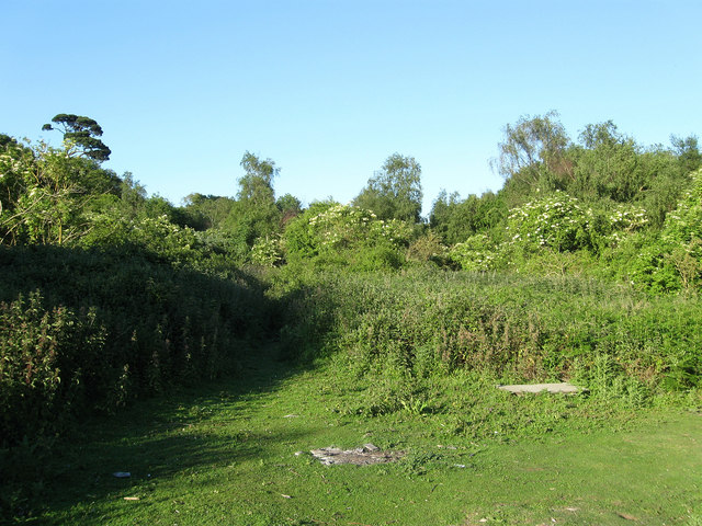
- ☀️June — canopy now fully closed, creating cool dappled shade even on warm days
- 🐕Early mornings are best for dog walks in summer — visit before 9am to avoid the heat and find quieter trails
- 🅿️Parking 339m away — 4 car parks within reach
🌤️ Visiting this summer
- ☀️June — canopy now fully closed, creating cool dappled shade even on warm days
- 🐕Early mornings are best for dog walks in summer — visit before 9am to avoid the heat and find quieter trails
- 🅿️Parking 339m away — 4 car parks within reach
Good to know
- £Free to visit — no entry charge
- 🐕Dogs welcome
- 🌿Ancient woodland — rare wildlife habitat
Best for
Wildlife
Very strong match
Multi-group wildlife — Amphibians, Birds, Mammals; Multi-group wildlife — Amphibians, Birds, Mammals
Bird watching
Very strong match
Birds — Woodpigeon, Blackbird, Carrion Crow +79 more · last seen 2026; Birds — Woodpigeon, Blackbird, Carrion Crow +79 more · last seen 2026
Seasonal nature
Strong match
Ancient woodland — bluebells, fungi and autumn colour; Plants — Butcher's-broom, Chicory, Common Toadflax +35 more · last seen 2026
Dog walks
Strong match
Dogs allowed — public woodland
Insect spotting
Strong match
Insects — Glow-worm, Blue-tailed Damselfly, Common Blue Damselfly +22 more · last seen 2026; Insects — Glow-worm, Blue-tailed Damselfly, Common Blue Damselfly +22 more · last seen 2026
Foraging
Good match
Deciduous woodland — fungi, berries and wild garlic; Plants — Hawthorn, Blackthorn, Bristly Oxtongue +3 more foraging species
Trails nearby
Within roughly 5 km🚶Walking
3 signed routes nearby · 22 public paths nearby
Signed route nearbyPublic paths
Walking
Monarch's WayWalking route990 km
approximate route of Charles II's escape
King Charles III England Coast Path: East Head to ShorehamWalking route
Cissbury Ring History and Nature Trail, Sussex EastWalking route3.5 km
Walk ancient roads, enjoy views of 78miles of coast from the 2nd largest Iron Age hillfort in southern England & see Neolithic flint mines & wildlife in this chalk downland site. Grassland, embankments & flint paths with steep sections. Slippery when wet
Rectory Lanepublic footpath · 185 m
Church Closepublic footpath · 89 m
Church Closepublic footpath · 40 m
🚴Cycling
12 signed routes nearby
Signed route nearby
Cycling
South Coast Cycle RouteCycling route
considered a poor cycle route by some cyclists, and a stand in for completion of NCN 2 to Littlehampton and beyond to Chichester
Town Centre to Worthing StationCycling route
National Cycle Route 2 Worthing to South MundhamCycling route
A259 cycle routeCycling route
A259 cycle route (Chichester - Worthing)Cycling route
A24 CyclewayCycling route
🐴Horse riding
2 public paths nearby
Public paths
Horse riding
Holt Lanebridleway · 727 m
Wildlife to spot
Photos
Weather for this location
Loading local forecast…
Nearby places
Useful places within 5 km
How was your visit?
How useful was the information on this page?
id: d427fb49-6dc1-4964-8478-2aa712b05fa5