Getting here
52.16342, -0.46620
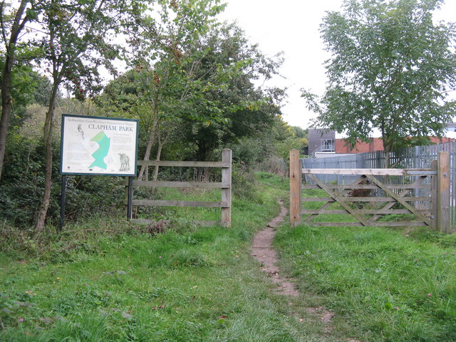
Visiting this summer
Seasonal nature notes and what to look for now
Visiting this summer
Seasonal nature notes and what to look for now
- 🌞Midsummer — early morning visits most comfortable; look for deer fawns in quieter clearings
- 🐕Early mornings are best for dog walks in summer — visit before 9am to avoid the heat and find quieter trails
- 🅿️Parking 78m away — 20 car parks within reach
🌤️ Visiting this summer
- 🌞Midsummer — early morning visits most comfortable; look for deer fawns in quieter clearings
- 🐕Early mornings are best for dog walks in summer — visit before 9am to avoid the heat and find quieter trails
- 🅿️Parking 78m away — 20 car parks within reach
Good to know
- £Free to visit — no entry charge
- 🐕Dogs welcome
- 🌿Ancient woodland — rare wildlife habitat
Best for
Wildlife
Very strong match
Multi-group wildlife — Amphibians, Birds, Mammals; Multi-group wildlife — Amphibians, Birds, Mammals
Bird watching
Very strong match
Birds — Blue Tit, Robin, Woodpigeon +61 more · last seen 2025; Birds — Blue Tit, Robin, Woodpigeon +61 more · last seen 2025
Seasonal nature
Strong match
Ancient woodland — bluebells, fungi and autumn colour; Plants — Snowdrop, Ground-ivy, Chicory +2 more · last seen 2026
Dog walks
Strong match
Dogs allowed — public woodland
Insect spotting
Strong match
Insects — Common Darter, Hairy Shieldbug, Deraeocoris (Knightocapsus) lutescens +42 more · last seen 2026; Insects — Common Darter, Hairy Shieldbug, Deraeocoris (Knightocapsus) lutescens +42 more · last seen 2026
Foraging
Good match
Deciduous woodland — fungi, berries and wild garlic
Trails nearby
Within roughly 5 km🚶Walking
4 signed routes nearby · 17 public paths nearby
Signed route nearbyPublic paths
Walking
John Bunyan TrailWalking route
North Bedfordshire Heritage TrailWalking route70 km
Ouse Valley Way 2 (Turvey to Eaton Socon)Walking route
Clay WayWalking route
Bournesidepublic footpath · 129 m
Bournesidepublic footpath · 95 m
Hawk Drivepublic footpath · 295 m
🚴Cycling
62 signed routes nearby
Signed route nearby
Cycling
National Byway (Beds)Cycling route
Route 2Cycling route
Route 16Cycling route
Route 17Cycling route
Bedford Green WheelCycling route
Route 22Cycling route
🐴Horse riding
2 public paths nearby
Public paths
Horse riding
No named routes yet. Public paths are shown on the map.
Wildlife to spot
Photos
Weather for this location
Loading local forecast…
Nearby places
Useful places within 5 km
Own or manage this place?
Claim this listing to keep details accurate, add photos, and highlight what makes it special — free.
Claim this pageHow was your visit?
How useful was the information on this page?
id: c13164cf-00e1-4d84-ab1d-fefb87e54920