Getting here
50.97345, -0.84789
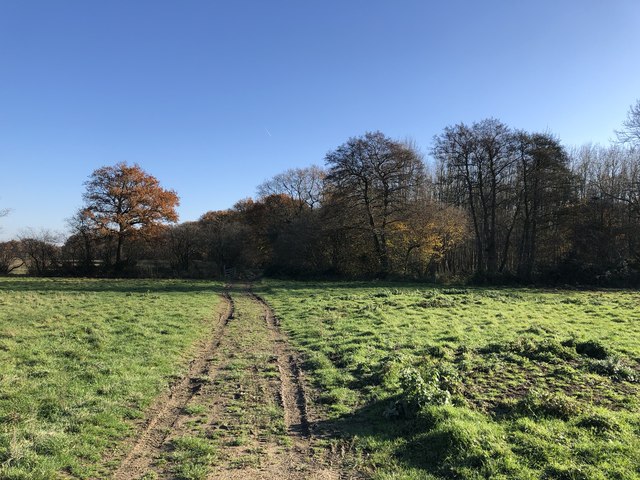
Visiting this summer
Seasonal nature notes and what to look for now
Visiting this summer
Seasonal nature notes and what to look for now
- 🌞Midsummer — early morning visits most comfortable; look for deer fawns in quieter clearings
- 🌿Foraging is at its best in summer here
- 🐕Dogs welcome — bring water in summer; the site has enough space to find shade on hot days
🌤️ Visiting this summer
- 🌞Midsummer — early morning visits most comfortable; look for deer fawns in quieter clearings
- 🌿Foraging is at its best in summer here
- 🐕Dogs welcome — bring water in summer; the site has enough space to find shade on hot days
Good to know
- £Free to visit — no entry charge
- 🐕Dogs welcome
- 🌿Ancient woodland — rare wildlife habitat
Best for
Wildlife
Strong match
Deciduous woodland priority habitat; Ancient woodland
Seasonal nature
Strong match
Ancient woodland — bluebells, fungi and autumn colour
Bird watching
Strong match
Deciduous woodland — woodpeckers, warblers and woodland birds
Foraging
Good match
Deciduous woodland — fungi, berries and wild garlic
Heritage
Good match
Ancient woodland — historic landscape
Forest walks
Moderate match
Public woodland
Trails nearby
Within roughly 5 km🚶Walking
7 signed routes nearby · 7 public paths nearby
Signed route nearbyPublic paths
Walking
South Downs WayWalking route160 km
Octagon WayWalking route29 km
New Lipchis WayWalking route
Sussex Border PathWalking route220 km
Harting Down Wildlife Walk, Sussex WestWalking route6.4 km
Moderate walk around Harting Down, one of the largest areas of ancient chalk downland cared for by NT & a SSSI. Enjoy views over the Weald to the North Downs, before descending. Look out for rare wildlife and grazing sheep. Grassy paths & several climbs.
🚴Cycling
2 signed routes nearby
Signed route nearby
Cycling
National Cycle Route 228 Pulborough to Petersfield (proposed)Cycling route
Bepton to MidhurstCycling route
🚵Mountain biking
2 signed routes nearby
Signed route nearby
Mountain biking
South Downs WayMountain bike route
King Alfred's WayMountain bike route
King Alfreds Way is 350km (220 miles) off road route designed to be ridden clockwise. It starts & ends in Winchester. It is suitable for gravel or cross-country bikes.
🐴Horse riding
4 public paths nearby
Public paths
Horse riding
No named routes yet. Public paths are shown on the map.
Wildlife to spot
Photos
Weather for this location
Loading local forecast…
Nearby places
Useful places within 5 km
Own or manage this place?
Claim this listing to keep details accurate, add photos, and highlight what makes it special — free.
Claim this pageHow was your visit?
How useful was the information on this page?
id: b158931d-147f-473f-a4ed-7df06de6f4d3