DogsWalksWildlife
Public accessFree entryDogs welcome4 ha
Getting here
51.65509, -2.38600
Visiting this summer
Seasonal nature notes and what to look for now
Visiting this summer
Seasonal nature notes and what to look for now
- 🌞Midsummer — early morning visits most comfortable; look for deer fawns in quieter clearings
- 🐕Early mornings are best for dog walks in summer — visit before 9am to avoid the heat and find quieter trails
- 📍Open access throughout summer — no booking required
🌤️ Visiting this summer
- 🌞Midsummer — early morning visits most comfortable; look for deer fawns in quieter clearings
- 🐕Early mornings are best for dog walks in summer — visit before 9am to avoid the heat and find quieter trails
- 📍Open access throughout summer — no booking required
Good to know
- £Free to visit — no entry charge
- 🐕Dogs welcome
Best for
Dog walks
Strong match
Dogs allowed — public woodland
Free
Forest walks
Good match
Public woodland
Free
Wildlife
Weak signal
Conifer plantation — limited but present wildlife
Free
Trails nearby
Within roughly 5 km🚶Walking
8 signed routes nearby · 2 public paths nearby
Signed route nearbyPublic paths
🚶
Walking
Newark Park Pink TrailWalking route
Named routeRound tripLocal walking route
Newark Park Purple TrailWalking route
Named routeRound tripLocal walking route
Wotton-under-Edge Cotswold Gateway Route 2Walking route8 km
Named routeRef WGR2Length 8 kmRound tripLocal walking route
Cotswold WayWalking route164 km
Named routeRef CWLength 164 kmNational walking route
Cotswold Way (Stinchcombe Hill by pass)Walking route
a short cut across bottom section of Stinchcombe Hill Golf Course
Named routeRef CWNational walking route
CNN25public footpath · 1.1 km
Public pathpublic footpathLength 1.1 kmSurface groundPath type: footway
🚴Cycling
7 signed routes nearby
Signed route nearby
🚴
Cycling
Route 41Cycling route
Named routeRef 41National Cycle Network
Avon CyclewayCycling route
Named routeRegional cycle route
Filton LinkCycling route
Named routeRegional cycle route
Main RouteCycling route5.2 km
Named routeRef 41Length 5.2 kmNational Cycle NetworkOn-roadSurface asphalt
Main RouteCycling route679 m
Named routeRef 41Length 679 mNational Cycle NetworkOn-roadSurface asphalt
Main RouteCycling route477 m
Named routeRef 41Length 477 mNational Cycle NetworkOn-roadSurface asphalt
🐴Horse riding
1 public path nearby
Public paths
🐴
Horse riding
Daisy Green Lanerestricted byway · 353 m
Public pathrestricted bywayLength 353 mPath type: service
Wildlife to spot
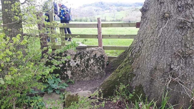
Photos
1 / 15
Weather for this location
Loading local forecast…
Nearby places
Useful places within 5 km
Own or manage this place?
Claim this listing to keep details accurate, add photos, and highlight what makes it special — free.
Claim this pageHow was your visit?
How useful was the information on this page?
id: 75b3fa44-08d6-4ca4-bd85-68c6b8b13b25