Getting here
51.93139, -1.52836
Visiting this summer
Seasonal nature notes and what to look for now
Visiting this summer
Seasonal nature notes and what to look for now
- 🌞Midsummer — early morning visits most comfortable; look for deer fawns in quieter clearings
- 🐕Early mornings are best for dog walks in summer — visit before 9am to avoid the heat and find quieter trails
- 🅿️Parking 174m away — 4 car parks within reach
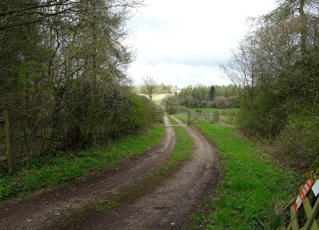
🌤️ Visiting this summer
- 🌞Midsummer — early morning visits most comfortable; look for deer fawns in quieter clearings
- 🐕Early mornings are best for dog walks in summer — visit before 9am to avoid the heat and find quieter trails
- 🅿️Parking 174m away — 4 car parks within reach
Good to know
- £Free to visit — no entry charge
- 🐕Dogs welcome
Best for
Dog walks
Strong match
Dogs allowed — public woodland
Insect spotting
Strong match
Chalk and limestone grassland — chalkhill blue, adonis blue and rare moths
Wildlife
Strong match
Lowland calcareous grassland priority habitat
Forest walks
Good match
Public woodland
Hiking
Good match
Named hiking route nearby: Shakespeare's Way
Trails nearby
Within roughly 5 km🚶Walking
7 signed routes nearby · 7 public paths nearby
Signed route nearbyPublic paths
Walking
Oxfordshire WayWalking route110 km
a traverse of Oxfordshire from the Cotswolds to the Chilterns
Shakespeare's WayWalking route235 km
Wychwood WayWalking route59.5 km
Macmillan WayWalking route290 km
D'Arcy Dalton WayWalking route107 km
Follows roughly the western boundary of Oxfordshire in unspoilt countryside.
🚴Cycling
10 signed routes nearby
Signed route nearby
Cycling
Cotswold Line Cycle RouteCycling route
Main RouteCycling route2.5 km
Main RouteCycling route430 m
Main RouteCycling route1.5 km
Main RouteCycling route5.3 km
Main RouteCycling route46 m
🐴Horse riding
4 public paths nearby
Public paths
Horse riding
Salt Wayrestricted byway · 1.6 km
Salt Wayrestricted byway · 46 m
Salt Wayrestricted byway · 21 m
Salt Wayrestricted byway · 820 m
Wildlife to spot
Photos
Weather for this location
Loading local forecast…
Nearby places
Useful places within 5 km
Own or manage this place?
Claim this listing to keep details accurate, add photos, and highlight what makes it special — free.
Claim this pageHow was your visit?
How useful was the information on this page?
id: 7e004c33-7b90-4b10-9995-25f30efb428f