Getting here
52.60095, -1.78061
Visiting this summer
Seasonal nature notes and what to look for now
Visiting this summer
Seasonal nature notes and what to look for now
- 🌞Midsummer — early morning visits most comfortable; look for deer fawns in quieter clearings
- 🐕Dogs welcome — bring water in summer; the site has enough space to find shade on hot days
🌤️ Visiting this summer
- 🌞Midsummer — early morning visits most comfortable; look for deer fawns in quieter clearings
- 🐕Dogs welcome — bring water in summer; the site has enough space to find shade on hot days
Good to know
- £Free to visit — no entry charge
- 🐕Dogs welcome
Best for
Forest walks
Moderate match
Public woodland
Trails nearby
Within roughly 5 km🚶Walking
10 signed routes nearby
Signed route nearby
Walking
Heart of England WayWalking route
Sutton Park Archeology Walk 5: Blackroot BistroWalking route
Most of Sutton Park is a Scheduled Ancient Monument and contains archaeological remains. This trail, one of six in the park, is via an 18th-century racecourse and golf course, medieval deer park, and quarry created for an 18th-century mill pond dam.
Sutton Park Archeology Walk 6: Bracebridge PoolWalking route
Most of Sutton Park is a Scheduled Ancient Monument and contains archaeological remains. This trail, one of six in the park, is via a medieval fish pond, 16th-century wood, WWI military practice trenches, mysterious earthwork, and 19th-century estate.
The Tame Way- Canal RouteWalking route19 km
Explore the views, history and wildlife of the Tame Valley Wetlands. Stretching between Birmingham and Tamworth is an extraordinary hidden landscape on the doorstep of over 1 million people. Sister walk to a river walk also ending at Hopwas. Duration ~5h
E2 hiking trail BirminghamWalking route
🚴Cycling
41 signed routes nearby
Signed route nearby
Cycling
North Birmingham Walking and Cycling RouteCycling route
Route 535 is a small cycle route from National Cycle Route 5 in Birmingham City Centre to Gravelly Hill, which carries on for a short way along the Tame Valley Canal
National Cycle Network Route 534Cycling route
New Hall Valley Cycle RouteCycling route
Connect2Cycling route
Main RouteCycling route445 m
N/ACycling route83 m
Wildlife to spot
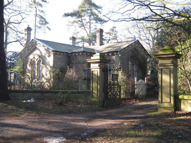
Photos
Weather for this location
Loading local forecast…
Nearby places
Useful places within 5 km
Own or manage this place?
Claim this listing to keep details accurate, add photos, and highlight what makes it special — free.
Claim this pageHow was your visit?
How useful was the information on this page?
id: 22825049-9aab-4f9d-8f18-1be12224c601