Plan your visit
Getting here
52.65887, -1.80116
Visiting this summer
Seasonal nature notes and what to look for now
Visiting this summer
Seasonal nature notes and what to look for now
- 🌞Midsummer — early morning visits most comfortable; look for deer fawns in quieter clearings
- 🐕Early mornings are best for dog walks in summer — visit before 9am to avoid the heat and find quieter trails
- 📍Open access throughout summer — no booking required
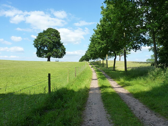
🌤️ Visiting this summer
- 🌞Midsummer — early morning visits most comfortable; look for deer fawns in quieter clearings
- 🐕Early mornings are best for dog walks in summer — visit before 9am to avoid the heat and find quieter trails
- 📍Open access throughout summer — no booking required
Good to know
- £Free to visit — no entry charge
- 🐕Dogs welcome
Best for
Dog walks
Strong match
Dogs allowed — public woodland
Forest walks
Good match
Public woodland
Wildlife
Weak signal
Conifer plantation — limited but present wildlife
Trails nearby
Within roughly 5 km🚶Walking
6 signed routes nearby · 1 public path nearby
Signed route nearbyPublic paths
Walking
Heart of England WayWalking route
Two Saints WayWalking route148 km
Two Saints Way - Chester Cathedral to/from Lichfield Cathedral. In the late Middle Ages a steady stream of pilgrims walked this way – both housing shrines to two game-changing Mercian saints in the 7th century - St Werburgh and St Chad
The Tame Way- Canal RouteWalking route19 km
Explore the views, history and wildlife of the Tame Valley Wetlands. Stretching between Birmingham and Tamworth is an extraordinary hidden landscape on the doorstep of over 1 million people. Sister walk to a river walk also ending at Hopwas. Duration ~5h
The Tame Way- River RouteWalking route29 km
Explore the views, history and wildlife of the Tame Valley Wetlands. Stretching between Birmingham and Tamworth is an extraordinary hidden landscape on the doorstep of over 1 million people. Sister walk to a canal walk also ending at Hopwas. Duration ~9h
E2 hiking trail BirminghamWalking route
🚴Cycling
22 signed routes nearby
Signed route nearby
Cycling
Route 54Cycling route
McClean WayCycling route
Main RouteCycling route378 m
N/ACycling route228 m
N/ACycling route59 m
Main RouteCycling route240 m
🐴Horse riding
2 public paths nearby
Public paths
Horse riding
Barkers Lanebridleway · 571 m
Wildlife to spot
Photos
Weather for this location
Loading local forecast…
Nearby places
Useful places within 5 km
Own or manage this place?
Claim this listing to keep details accurate, add photos, and highlight what makes it special — free.
Claim this pageHow was your visit?
How useful was the information on this page?
id: a8d73dee-f624-4e90-9538-bb66a221ce31