Getting here
54.56188, -3.38511
Visiting this summer
Seasonal nature notes and what to look for now
Visiting this summer
Seasonal nature notes and what to look for now
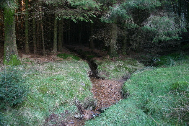
- 🌞Midsummer — early morning visits most comfortable; look for deer fawns in quieter clearings
- 🐕Dogs welcome — bring water in summer; the site has enough space to find shade on hot days
🌤️ Visiting this summer
- 🌞Midsummer — early morning visits most comfortable; look for deer fawns in quieter clearings
- 🐕Dogs welcome — bring water in summer; the site has enough space to find shade on hot days
Good to know
- £Free to visit — no entry charge
- 🐕Dogs welcome
Best for
Bird watching
Strong match
Upland heathland — red grouse, merlin and short-eared owl
Wildlife
Strong match
Upland heathland priority habitat
Forest walks
Moderate match
Public woodland
Trails nearby
Within roughly 5 km🚶Walking
3 signed routes nearby
Signed route nearby
Walking
Lanthwaite Wood and Crummock Water Walk, North Lakes OutdoorsWalking route6.4 km
This walk passes through the hills & woodlands on the eastern side of Crummock Water. The route is dominated by two sweeping views: the famous vista of the Buttermere fells, and the dramatic rocky buttress of Grasmoor End looming over its northern tip.
Coast to Coast Walk (St Bees to Shap)Walking route
Corpse Road and Tumuli Walk, North Lakes OutdoorsWalking route5.8 km
Get under the skin of the Cumbrian landscape on this trail through a patchwork of natural and archaeological features. Varying terrain with a gradual climb to High Nook, paths can be slippery when wet.
🚴Cycling
9 signed routes nearby
Signed route nearby
Cycling
Lakes & Dales LoopCycling route
Route 7Cycling route
Main RouteCycling route16.6 km
Main RouteCycling route418 m
Main RouteCycling route1.1 km
Main RouteCycling route126 m
Wildlife to spot
Photos
Weather for this location
Loading local forecast…
Nearby places
Useful places within 5 km
Own or manage this place?
Claim this listing to keep details accurate, add photos, and highlight what makes it special — free.
Claim this pageHow was your visit?
How useful was the information on this page?
id: c8c84703-08c3-4288-a6eb-9cc5e96076b6