☀️June — canopy now fully closed, creating cool dappled shade even on warm days
🐕Early mornings are best for dog walks in summer — visit before 9am to avoid the heat and find quieter trails
🅿️Parking 363m away — 4 car parks within reach
🌤️ Visiting this summer
☀️June — canopy now fully closed, creating cool dappled shade even on warm days
🐕Early mornings are best for dog walks in summer — visit before 9am to avoid the heat and find quieter trails
🅿️Parking 363m away — 4 car parks within reach
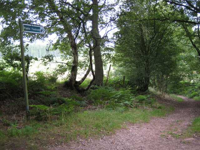
Good to know
£Free to visit — no entry charge
🐕Dogs welcome
🌿Ancient woodland — rare wildlife habitat
🅿️Parking
Best for
8 activities
🍂
Seasonal nature
Strong match
Ancient woodland — bluebells, fungi and autumn colour
Free
🦉
Wildlife
Strong match
Deciduous woodland priority habitat; Ancient woodland
Free
🐶
Dog walks
Strong match
Dogs allowed — public woodland
Free
🦅
Bird watching
Strong match
Deciduous woodland — woodpeckers, warblers and woodland birds
Free
🌿
Foraging
Good match
Deciduous woodland — fungi, berries and wild garlic
Varies
✦
Heritage
Good match
Ancient woodland — historic landscape
Free
Trails nearby
Within roughly 5 km
🚶
Walking
▾
6 signed routes nearby · 10 public paths nearby
Signed route nearbyPublic paths
Two Saints WayWalking route148 km▾
Two Saints Way - Chester Cathedral to/from Lichfield Cathedral. In the late Middle Ages a steady stream of pilgrims walked this way – both housing shrines to two game-changing Mercian saints in the 7th century - St Werburgh and St Chad
Named routeRef TSWLength 148 kmPoint-to-pointRegional walking route
Trent Valley WayWalking route304 km▾
Named routeLength 304 kmPoint-to-pointRegional walking route
Stone Circles ChallengeWalking route▾
Named routeLocal walking route
Hanchurch Walk (Blue)Walking route▾
Named routeRound tripLocal walking route
Hanchurch Walk (Red)Walking route▾
Named routeRound tripLocal walking route
Common Lanepublic footpath · 301 m▾
Public pathpublic footpathLength 301 mSurface groundPath type: track
Harley Thorn Lanepublic footpath · 521 m▾
Public pathpublic footpathLength 521 mPath type: path
Harley Thorn Lanepublic footpath · 168 m▾
Public pathpublic footpathLength 168 mPath type: track
🚴
Cycling
▾
16 signed routes nearby
Signed route nearby
National Cycle Network Route 5Cycling route▾
Named routeRef 5National Cycle Network
Main RouteCycling route1.8 km▾
Named routeRef 5Length 1.8 kmNational Cycle NetworkTraffic-freeSurface asphalt
Main RouteCycling route13 m▾
Named routeRef 5Length 13 mNational Cycle NetworkTraffic-freeSurface asphalt
N/ACycling route69 m▾
Named routeLength 69 mNational Cycle NetworkOn-roadSurface asphalt
N/ACycling route659 m▾
Named routeLength 659 mNational Cycle NetworkTraffic-freeSurface asphalt
Main RouteCycling route109 m▾
Named routeRef 5Length 109 mNational Cycle NetworkTraffic-freeSurface blocks