🌞Midsummer — early morning visits most comfortable; look for deer fawns in quieter clearings
🐕Early mornings are best for dog walks in summer — visit before 9am to avoid the heat and find quieter trails
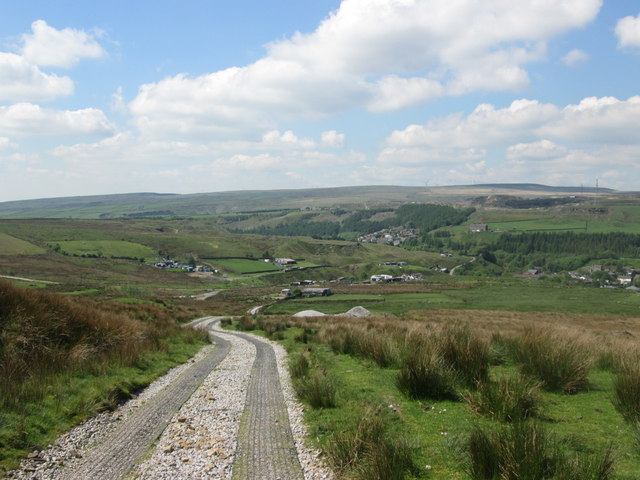
📍Open access throughout summer — no booking required
🌤️ Visiting this summer
🌞Midsummer — early morning visits most comfortable; look for deer fawns in quieter clearings
🐕Early mornings are best for dog walks in summer — visit before 9am to avoid the heat and find quieter trails
📍Open access throughout summer — no booking required
Good to know
£Free to visit — no entry charge
🐕Dogs welcome
Best for
4 activities
🐶
Dog walks
Strong match
Dogs allowed — public woodland
Free
🌲
Forest walks
Good match
Public woodland
Free
🦋
Insect spotting
Good match
Semi-improved grassland — butterflies and wildflowers
Free
🦉
Wildlife
Good match
Good quality semi-improved grassland priority habitat
Free
Trails nearby
Within roughly 5 km
🚶
Walking
▾
11 signed routes nearby · 26 public paths nearby
Signed route nearbyPublic paths
Mary Towneley LoopWalking route▾
Forms part of Pennine Bridleway National Trail
Named routeRegional walking route
Irwell Sculpture TrailWalking route▾
Named routeRegional walking route
Rochdale WayWalking route▾
Named routeRef RochRegional walking route
Rossendale WayWalking route▾
A high-level route around Bacup, Rawtenstall, Haslingden and Whitworth in the Rossendale Valley, crossing the open moors and farmland of the South Pennines which roughly follows the Rossendale Borough boundary.
Named routeRegional walking route
GM Ringway Stage 12Walking route21.1 km▾
GM Ringway Stage 12 - Norden to Bury
Named routeLength 21.1 kmRegional walking route
Land Gatepublic footpath · 306 m▾
Public pathpublic footpathLength 306 mPath type: service
Land Gatepublic footpath · 30 m▾
Public pathpublic footpathLength 30 mPath type: service
Freeholds Roadpublic footpath · 34 m▾
Public pathpublic footpathLength 34 mSurface asphaltPath type: service
🚴
Cycling
▾
110 signed routes nearby
Signed route nearby
Route 66Cycling route▾
Named routeRef 66National Cycle Network
Cycle routeCycling route▾
Named routeRef 661Local cycle route
Todmorden High School Safe Route to SchoolCycling route▾
Named routeLocal cycle route
Route 92Cycling route▾
Named routeRef 92Regional cycle route
Britannia GreenwayCycling route▾
Named routeLocal cycle route
Whitworth GreenwayCycling route▾
Named routeLocal cycle route
🚵
Mountain biking
▾
3 signed routes nearby
Signed route nearby
Great North Trail (Peak District and South Pennines)Mountain bike route130.4 km▾
Named routeLength 130.4 kmNational Cycle Network
Lee Quarry Red RouteMountain bike route▾
Named route
Lee Quarry Black RouteMountain bike route▾
Named route
🐴
Horse riding
▾
4 public paths nearby
Public paths
Foul Clough Roadbridleway · 1.6 km▾
Public pathbridlewayLength 1.6 kmSurface earthPath type: track
Rossendale Waybridleway · 549 m▾
Public pathbridlewayLength 549 mSurface groundPath type: bridleway
Rossendale Waybridleway · 5 m▾
Public pathbridlewayLength 5 mSurface groundPath type: bridleway