Birds — Moorhen, Mallard, Jackdaw +67 more · last seen 2026; Birds — Moorhen, Mallard, Jackdaw +67 more · last seen 2026
Free
🌿
Foraging
Strong match
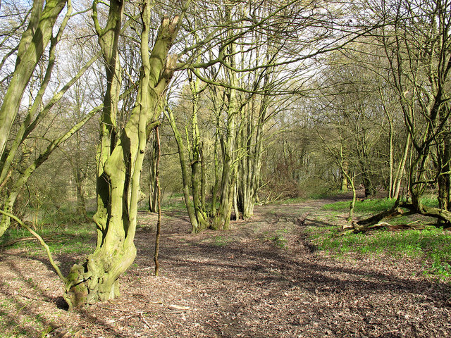
Plants — Bristly Oxtongue, Dandelion, Elder +11 more foraging species; Deciduous woodland — fungi, berries and wild garlic
Varies
🍂
Seasonal nature
Strong match
Ancient woodland — bluebells, fungi and autumn colour; Plants — Common Knapweed, Parrot's-feather, Common Bird's-foot-trefoil +85 more · last seen 2025
Free
🦋
Insect spotting
Strong match
Insects — Azure Damselfly, Blue-tailed Damselfly, Box Tree Moth +75 more · last seen 2025; Insects — Azure Damselfly, Blue-tailed Damselfly, Box Tree Moth +75 more · last seen 2025
Free
🐶
Dog walks
Strong match
Dogs allowed — public woodland
Free
Trails nearby
Within roughly 5 km
🚶
Walking
▾
15 signed routes nearby · 20 public paths nearby
Signed route nearbyPublic paths
Three Forests WayWalking route96 km▾
Named routeLength 96 kmRound tripRegional walking route
Epping Forest Big WalkWalking route▾
Named routeLocal walking route
Lea Valley WalkWalking route▾
Transport for London's Section 1 of the Lea Valley Walk within London
Named routePoint-to-pointRegional walking route
London to Walsingham - stage 02Walking route▾
Named routeRef LW02Local walking route
Greenwich Meridian TrailWalking route440 km▾
A long-distance walk that follows the line of the Prime Meridian. Inaugurated in 2009, to coincide with the 125th anniversary of the Greenwich Meridian.
Named routeRef GMTLength 440 kmRegional walking route
🚴
Cycling
▾
35 signed routes nearby
Signed route nearby
EuroVelo 2 - Capitals Route - part United Kingdom 7Cycling route▾
Named routeRef EV2International cycle route
Route 61Cycling route34 km▾
Route 61 travels from Maidenhead to Hatfield, Welwyn Garden City and Hertford before arriving near Hoddesdon.
Named routeRef 61Length 34 kmNational Cycle Network
NCN National Route 1Cycling route▾
Named routeRef 1National Cycle Network
Main RouteCycling route2 km▾
Named routeRef 1Length 2 kmNational Cycle NetworkTraffic-freeSurface unsealedfirm
Main RouteCycling route967 m▾
Named routeRef 1Length 967 mNational Cycle NetworkTraffic-freeSurface unsealedfirm
Main RouteCycling route506 m▾
Named routeRef 1Length 506 mNational Cycle NetworkTraffic-freeSurface unsealedfirm
🐴
Horse riding
▾
6 public paths nearby
Public paths
Forest Waybridleway · 681 m▾
Public pathbridlewayLength 681 mSurface dirtPath type: track
Forest Waybridleway · 42 m▾
Public pathbridlewayLength 42 mSurface dirtPath type: bridleway
Forest Waybridleway · 75 m▾
Public pathbridlewayLength 75 mSurface dirtPath type: bridleway
Forest Waybridleway · 8 m▾
Public pathbridlewayLength 8 mSurface dirtPath type: bridleway
Forest Waybridleway · 455 m▾
Public pathbridlewayLength 455 mSurface dirtPath type: bridleway