Plan your visit
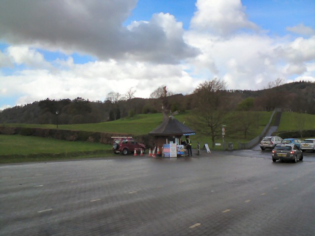
Getting here
54.36039, -2.92326
Visiting this summer
Seasonal nature notes and what to look for now
Visiting this summer
Seasonal nature notes and what to look for now
- 🐦59+ species recorded in this area — summer evenings are best for activity; watch for Jackdaw and Robin
- 🧺Good picnic destination in summer — open space and facilities for a relaxed day out
- 🛝Playground 253m away — built-in entertainment for younger visitors alongside the wider site
🌤️ Visiting this summer
- 🐦59+ species recorded in this area — summer evenings are best for activity; watch for Jackdaw and Robin
- 🧺Good picnic destination in summer — open space and facilities for a relaxed day out
- 🛝Playground 253m away — built-in entertainment for younger visitors alongside the wider site
Good to know
- £Free to visit — no entry charge
- 🐕Dogs welcome
Best for
Picnic day out
Very strong match
picnic area, toilets, car park; Urban park — open green space
Family friendly
Very strong match
playground, toilets, picnic area; Urban park — family destination
Bird watching
Very strong match
Birds — Jackdaw, Robin, Black-headed Gull +56 more · last seen 2026
Playgrounds
Strong match
playground, toilets, parking
Wildlife
Strong match
Birds — Jackdaw, Robin, Black-headed Gull +56 more · last seen 2026
Dog walks
Strong match
Dogs allowed with public access
Trails nearby
Within roughly 5 km🚶Walking
17 signed routes nearby · 5 public paths nearby
Signed route nearbyPublic paths
Walking
Dales WayWalking route129 km
Miles without Stiles: Wray Castle to LoanthwaiteWalking route
Watbarrow Wood Waymarked Walk, Wray CastleWalking route1.1 km
Rought and uneven path with some steep sections around Watbarrow Wood.
Calf Parrock Waymarked Walk, Wray CastleWalking route900 m
Short walk to Calf Parrock Coppice and great viewpoint of the castle.
Beatrix Potter's Moss Eccles Tarn Walk, Hill TopWalking route4 km
Gentle walk to 1 of Beatrix Potter's favourite places, Moss Eccles Tarn. This is where the children's author spent time painting & is a great introduction to the place included in her books. Short steep sections. Muddy in wet weather. Potential livestock
🚴Cycling
36 signed routes nearby
Signed route nearby
Cycling
Route 6Cycling route
Main RouteCycling route236 m
Main RouteCycling route15 m
Main RouteCycling route28 m
Main RouteCycling route96 m
Main RouteCycling route2 km
🚵Mountain biking
2 signed routes nearby
Signed route nearby
Mountain biking
Silurian WayMountain bike route
Grizedale Tarn TrailMountain bike route
🐴Horse riding
1 public path nearby
Public paths
Horse riding
No named routes yet. Public paths are shown on the map.
Wildlife to spot
Photos
Weather for this location
Loading local forecast…
Nearby places
Useful places within 5 km