Getting here
50.87996, -0.34748
Visiting this summer
Seasonal nature notes and what to look for now
Visiting this summer
Seasonal nature notes and what to look for now
- 🌞Midsummer — early morning visits most comfortable; look for deer fawns in quieter clearings
- ✦Historic character is a year-round quality here — summer brings its own atmosphere to the setting
- 🐕Dogs welcome — bring water in summer; the site has enough space to find shade on hot days
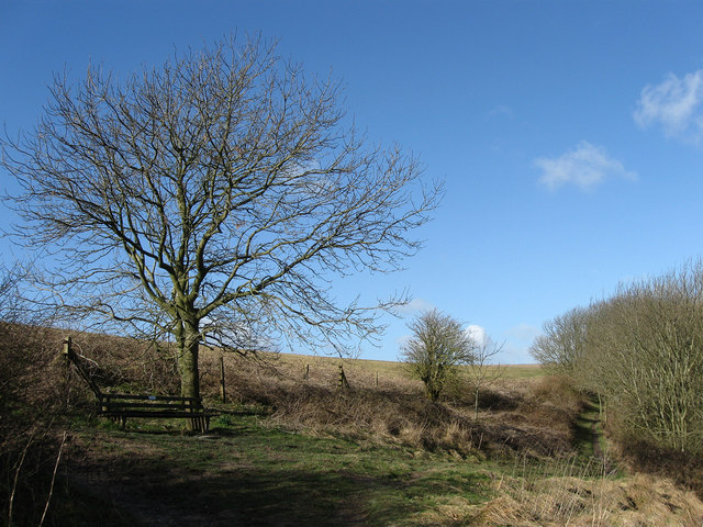
🌤️ Visiting this summer
- 🌞Midsummer — early morning visits most comfortable; look for deer fawns in quieter clearings
- ✦Historic character is a year-round quality here — summer brings its own atmosphere to the setting
- 🐕Dogs welcome — bring water in summer; the site has enough space to find shade on hot days
Good to know
- £Free to visit — no entry charge
- 🐕Dogs welcome
Best for
Wildlife
Very strong match
Multi-group wildlife — Birds, Mammals, Reptiles; Multi-group wildlife — Birds, Mammals, Reptiles
Bird watching
Very strong match
Birds — Carrion Crow, Woodpigeon, Blue Tit +71 more · last seen 2025; Birds — Carrion Crow, Woodpigeon, Blue Tit +71 more · last seen 2025
Heritage
Strong match
Historic site with public access
Seasonal nature
Strong match
Plants — Daisy, Ribwort Plantain, Red Fescue +16 more · last seen 2025; Plants — Daisy, Ribwort Plantain, Red Fescue +16 more · last seen 2025
Hiking
Good match
Named hiking route nearby: European walking route E9, Queen Elizabeth Country Park to Jevington
Dog walks
Good match
Dogs allowed with public access
Trails nearby
Within roughly 5 km🚶Walking
5 signed routes nearby · 1 public path nearby
Signed route nearbyPublic paths
Walking
Monarch's WayWalking route990 km
approximate route of Charles II's escape
South Downs WayWalking route160 km
Downs LinkWalking route59 km
A 37 mile shared route for walkers, horse riders and cyclists linking the North Downs Way with the South Downs Way
Cissbury Ring History and Nature Trail, Sussex EastWalking route3.5 km
Walk ancient roads, enjoy views of 78miles of coast from the 2nd largest Iron Age hillfort in southern England & see Neolithic flint mines & wildlife in this chalk downland site. Grassland, embankments & flint paths with steep sections. Slippery when wet
European walking route E9, Queen Elizabeth Country Park to JevingtonWalking route
🚴Cycling
22 signed routes nearby
Signed route nearby
Cycling
Route 223Cycling route
Route 223Cycling route
Town Centre to Lyons FarmCycling route
Down Link path to Shoreham-by-Sea stationCycling route
Old Shoreham Road Cycle path/laneCycling route
Old Shoreham Road / Upper Shoreham Road Cycle path/lane (proposed)Cycling route
🚵Mountain biking
1 signed route nearby
Signed route nearby
Mountain biking
South Downs WayMountain bike route
🐴Horse riding
4 public paths nearby
Public paths
Horse riding
Upper Horshoe Parthbridleway · 945 m
Wildlife to spot
Photos
Weather for this location
Loading local forecast…
Nearby places
Useful places within 5 km
Own or manage this place?
Claim this listing to keep details accurate, add photos, and highlight what makes it special — free.
Claim this pageHow was your visit?
How useful was the information on this page?
id: 915d106d-215a-4363-a006-54bf0a1dac78