Getting here
54.14905, -0.63014
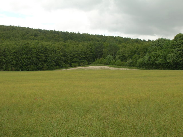
Visiting this summer
Seasonal nature notes and what to look for now
Visiting this summer
Seasonal nature notes and what to look for now
- 🌞Midsummer — early morning visits most comfortable; look for deer fawns in quieter clearings
- 🌿Foraging is at its best in summer here
- 🐕Dogs welcome — bring water in summer; the site has enough space to find shade on hot days
🌤️ Visiting this summer
- 🌞Midsummer — early morning visits most comfortable; look for deer fawns in quieter clearings
- 🌿Foraging is at its best in summer here
- 🐕Dogs welcome — bring water in summer; the site has enough space to find shade on hot days
Good to know
- £Free to visit — no entry charge
- 🐕Dogs welcome
- 🌳Large woodland — room to roam
Best for
Wildlife
Very strong match
Multi-group wildlife — Amphibians, Birds, Mammals; Multi-group wildlife — Amphibians, Birds, Mammals
Bird watching
Very strong match
Birds — Blackbird, Pheasant, Woodpigeon +63 more · last seen 2025; Birds — Blackbird, Pheasant, Woodpigeon +63 more · last seen 2025
Foraging
Strong match
Plants — Hawthorn, Hazel, Hogweed +35 more foraging species; Deciduous woodland — fungi, berries and wild garlic
Seasonal nature
Strong match
Plants — Sycamore, Hawthorn, Cow Parsley +283 more · last seen 2017; Plants — Sycamore, Hawthorn, Cow Parsley +283 more · last seen 2017
Dog walks
Strong match
Dogs allowed — public woodland
Insect spotting
Strong match
Insects — Small White, Small Tortoiseshell, Meadow Brown +44 more · last seen 2024; Insects — Small White, Small Tortoiseshell, Meadow Brown +44 more · last seen 2024
Trails nearby
Within roughly 5 km🚶Walking
2 signed routes nearby · 9 public paths nearby
Signed route nearbyPublic paths
Walking
Centenary WayWalking route134 km
Yorkshire Wolds WayWalking route127 km
🚴Cycling
7 signed routes nearby
Signed route nearby
Cycling
NCN National Route 166Cycling route
National Byway (Yorkshire)Cycling route
Yorkshire Wolds Cycle RouteCycling route
Main RouteCycling route3.4 km
Main RouteCycling route417 m
Main RouteCycling route3 km
🐴Horse riding
8 public paths nearby
Public paths
Horse riding
Knapton Wold Roadbridleway · 578 m
Knapton Wold Roadbridleway · 500 m
Knapton Wold Roadbridleway · 32 m
Wildlife to spot
Photos
Weather for this location
Loading local forecast…
Nearby places
Useful places within 5 km
Own or manage this place?
Claim this listing to keep details accurate, add photos, and highlight what makes it special — free.
Claim this pageHow was your visit?
How useful was the information on this page?
id: 2d0a26e0-06c9-4362-8983-6b833cc1d867