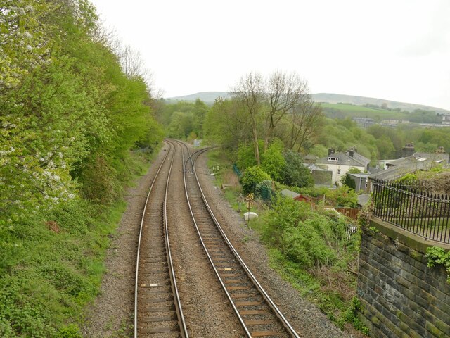
🐦89+ species recorded in this area — summer evenings are best for activity; watch for Jackdaw and Magpie
☀️Summer family visits work well here — arrive early and plan for a longer stay
🛝Playground on site — built-in entertainment for younger visitors alongside the wider site
🌤️ Visiting this summer
🐦89+ species recorded in this area — summer evenings are best for activity; watch for Jackdaw and Magpie
☀️Summer family visits work well here — arrive early and plan for a longer stay
🛝Playground on site — built-in entertainment for younger visitors alongside the wider site
Good to know
£Free to visit — no entry charge
🐕Dogs welcome
🅿️Parking· Paid🛝Playground
Best for
10 activities
🦅
Bird watching
Very strong match
Birds — Jackdaw, Magpie, Woodpigeon +86 more · last seen 2026
Free
🦉
Wildlife
Strong match
Birds — Jackdaw, Magpie, Woodpigeon +86 more · last seen 2026
Free
🎠
Playgrounds
Strong match
playground, parking
Free
🦋
Insect spotting
Strong match
Insects — Harlequin Ladybird, 7-spot Ladybird, Common Red Soldier Beetle +33 more · last seen 2025
Free
🛝
Family friendly
Strong match
playground; Urban park — family destination
Free
🍂
Seasonal nature
Strong match
Plants — Japanese Knotweed, Himalayan Balsam, Selfheal +142 more · last seen 2026
Free
Trails nearby
Within roughly 5 km
🚶
Walking
▾
16 signed routes nearby · 11 public paths nearby
Signed route nearbyPublic paths
Mary Towneley LoopWalking route▾
Forms part of Pennine Bridleway National Trail
Named routeRegional walking route
Rochdale WayWalking route▾
Named routeRef RochRegional walking route
Rossendale WayWalking route▾
A high-level route around Bacup, Rawtenstall, Haslingden and Whitworth in the Rossendale Valley, crossing the open moors and farmland of the South Pennines which roughly follows the Rossendale Borough boundary.
Named routeRegional walking route
Todmorden Centenary WayWalking route▾
Named routeLocal walking route
Pennine Way (Warland Reservoir to Calder Valley)Walking route▾
Named routeNational walking route
Roydpublic footpath · 111 m▾
Public pathpublic footpathLength 111 mPath type: unclassified
Royd Roadpublic footpath · 53 m▾
Public pathpublic footpathLength 53 mPath type: residential
The Hollinspublic footpath · 81 m▾
Public pathpublic footpathLength 81 mPath type: residential
🚴
Cycling
▾
92 signed routes nearby
Signed route nearby
Pennine CyclewayCycling route▾
Named routeRef 68National Cycle Network
Route 66Cycling route▾
Named routeRef 66National Cycle Network
Todmorden High School Safe Route to SchoolCycling route▾
Named routeLocal cycle route
Route 68Cycling route▾
Named routeRef 68National Cycle Network
Route 92Cycling route▾
Named routeRef 92Regional cycle route
Whitworth GreenwayCycling route▾
Named routeLocal cycle route
🚵
Mountain biking
▾
2 signed routes nearby
Signed route nearby
Great North Trail (Yorkshire Dales)Mountain bike route172.2 km▾
Named routeLength 172.2 km
Great North Trail (Peak District and South Pennines)Mountain bike route130.4 km▾
Named routeLength 130.4 kmNational Cycle Network
🐴
Horse riding
▾
7 public paths nearby
Public paths
Hole Bottom Roadbridleway · 39 m▾
Public pathbridlewayLength 39 mPath type: residential
Hole Bottom Roadbridleway · 174 m▾
Public pathbridlewayLength 174 mSurface pavedPath type: track