Getting here
52.12718, -0.71932
Visiting this summer
Seasonal nature notes and what to look for now
Visiting this summer
Seasonal nature notes and what to look for now
- 🌞Midsummer — early morning visits most comfortable; look for deer fawns in quieter clearings
- ✦Historic character is a year-round quality here — summer brings its own atmosphere to the setting
- 🐕Dogs welcome — bring water in summer; the site has enough space to find shade on hot days
🌤️ Visiting this summer
- 🌞Midsummer — early morning visits most comfortable; look for deer fawns in quieter clearings
- ✦Historic character is a year-round quality here — summer brings its own atmosphere to the setting
- 🐕Dogs welcome — bring water in summer; the site has enough space to find shade on hot days
Good to know
- £Free to visit — no entry charge
- 🐕Dogs welcome
Best for
Wildlife
Very strong match
Multi-group wildlife — Amphibians, Birds; Multi-group wildlife — Amphibians, Birds
Heritage
Strong match
Historic site with public access
Bird watching
Strong match
Birds — Moorhen, Mute Swan, Mallard +18 more · last seen 2026; Birds — Moorhen, Mute Swan, Mallard +18 more · last seen 2026
Insect spotting
Strong match
Insects — Common Blue Damselfly, Common Darter, Small Red-eyed Damselfly +125 more · last seen 2026; Insects — Common Blue Damselfly, Common Darter, Small Red-eyed Damselfly +125 more · last seen 2026
Dog walks
Good match
Dogs allowed with public access
Foraging
Good match
Deciduous woodland — fungi, berries and wild garlic
Trails nearby
Within roughly 5 km🚶Walking
7 signed routes nearby · 6 public paths nearby
Signed route nearbyPublic paths
Walking
Midshires WayWalking route370 km
Multi-use trail links the Ridgeway National Trail with the Trans Pennine Trail
Three Shires WayWalking route79 km
49 mile route liking the Swan's Way to the Grafham Water circular walk, which it now incorporates, made up largely of bridleways.
Hanslope Circular RideWalking route
Olney Circular WalkWalking route6.6 km
An reasonably easy 1.5hour walk taking in some of Olney's viewpoints and places of interest. Waterproof footwear essential when rainy. Livestock may be encountered.
Ouse Valley Way 1 (Syresham to Turvey)Walking route
🚴Cycling
1 signed route nearby
Signed route nearby
Cycling
MK Redway Super Route Railway WalkCycling route
🐴Horse riding
7 public paths nearby
Public paths
Horse riding
No named routes yet. Public paths are shown on the map.
Wildlife to spot
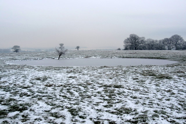
Photos
Weather for this location
Loading local forecast…
Nearby places
Useful places within 5 km
Own or manage this place?
Claim this listing to keep details accurate, add photos, and highlight what makes it special — free.
Claim this pageHow was your visit?
How useful was the information on this page?
id: 455bbc7c-dfa3-46aa-9e58-37b27cf5ef9b