Getting here
50.95865, -0.10138
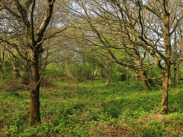
Visiting this summer
Seasonal nature notes and what to look for now
Visiting this summer
Seasonal nature notes and what to look for now
- 🌞Midsummer — early morning visits most comfortable; look for deer fawns in quieter clearings
- 🌿Foraging is at its best in summer here
- 🐕Dogs welcome — bring water in summer; the site has enough space to find shade on hot days
🌤️ Visiting this summer
- 🌞Midsummer — early morning visits most comfortable; look for deer fawns in quieter clearings
- 🌿Foraging is at its best in summer here
- 🐕Dogs welcome — bring water in summer; the site has enough space to find shade on hot days
Good to know
- £Free to visit — no entry charge
- 🐕Dogs welcome
Best for
Wildlife
Very strong match
Multi-group wildlife — Amphibians, Birds, Mammals, Reptiles; Multi-group wildlife — Amphibians, Birds, Mammals, Reptiles
Bird watching
Very strong match
Birds — Robin, Great Tit, Blue Tit +65 more · last seen 2025; Birds — Robin, Great Tit, Blue Tit +65 more · last seen 2025
Foraging
Strong match
Plants — Common Nettle, Bramble, Hogweed +10 more foraging species; Deciduous woodland — fungi, berries and wild garlic
Seasonal nature
Strong match
Plants — White Clover, Meadow Vetchling, Common Nettle +120 more · last seen 2026; Plants — White Clover, Meadow Vetchling, Common Nettle +120 more · last seen 2026
Dog walks
Strong match
Dogs allowed — public woodland
Insect spotting
Strong match
Insects — Migrant Hawker, Common Darter, Willow Emerald Damselfly +30 more · last seen 2026; Insects — Migrant Hawker, Common Darter, Willow Emerald Damselfly +30 more · last seen 2026
Trails nearby
Within roughly 5 km🚶Walking
6 signed routes nearby · 32 public paths nearby
Signed route nearbyPublic paths
Walking
Wolstonbury Hill Explore Nature Walk, Sussex EastWalking route5.9 km
Go through beech woodland before climbing steep open grassland to the top of the hill. On summiting, admire panoramic views of the weald, sea & downs, including Newtimber Hill & Devil's Dyke. Bluebells & garlic can be found in Spring. Potential livestock.
Sussex Ouse Valley WayWalking route67 km
Dophin Lesuire Centre to B2272 Public FootpathWalking route
Ashgrounds WoodWalking route
Green Circle - Walking RelationWalking route
Ote Hall Farmpublic footpath · 255 m
🚴Cycling
14 signed routes nearby
Signed route nearby
Cycling
Green Circle - Bicycle RelationCycling route
Kings WayCycling route
Norther Arc AvenueCycling route
Norther Arc AvenueCycling route
Hurstpierpoint to Downlands Communitiy CollegeCycling route
Haywards Heath Town Centre to Cuckfield Cycle RouteCycling route
🐴Horse riding
21 public paths nearby
Public paths
Horse riding
Janes Lanebridleway · 26 m
Wildlife to spot
Photos
Weather for this location
Loading local forecast…
Nearby places
Useful places within 5 km
Own or manage this place?
Claim this listing to keep details accurate, add photos, and highlight what makes it special — free.
Claim this pageHow was your visit?
How useful was the information on this page?
id: d67be1e1-3091-4074-aef9-bb1d9b6333b0