Getting here
54.34503, -2.69203
Visiting this summer
Seasonal nature notes and what to look for now
Visiting this summer
Seasonal nature notes and what to look for now
- 🌞Midsummer — early morning visits most comfortable; look for deer fawns in quieter clearings
- 🌿Foraging is at its best in summer here
- 🐕Dogs welcome — bring water in summer; the site has enough space to find shade on hot days
🌤️ Visiting this summer
- 🌞Midsummer — early morning visits most comfortable; look for deer fawns in quieter clearings
- 🌿Foraging is at its best in summer here
- 🐕Dogs welcome — bring water in summer; the site has enough space to find shade on hot days
Good to know
- £Free to visit — no entry charge
- 🐕Dogs welcome
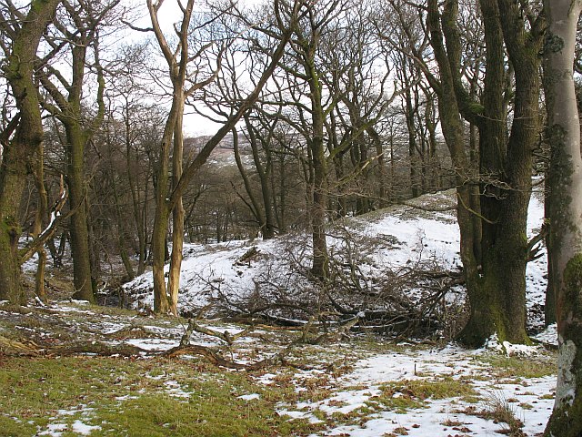
- 🌿Ancient woodland — rare wildlife habitat
Best for
Wildlife
Very strong match
Multi-group wildlife — Birds, Mammals; Multi-group wildlife — Birds, Mammals
Bird watching
Very strong match
Birds — Woodpigeon, Jackdaw, Carrion Crow +74 more · last seen 2025; Birds — Woodpigeon, Jackdaw, Carrion Crow +74 more · last seen 2025
Seasonal nature
Strong match
Ancient woodland — bluebells, fungi and autumn colour; Plants — Goldilocks Buttercup, Wood Anemone, Common Bistort +104 more · last seen 2024
Foraging
Strong match
Plants — Common Bistort, Hazel, Hawthorn +18 more foraging species; Deciduous woodland — fungi, berries and wild garlic
Insect spotting
Strong match
Calcareous grassland — rare invertebrates and orchids; Insects — Harlequin Ladybird, Southern Hawker · last seen 2024
Heritage
Good match
Ancient woodland — historic landscape
Trails nearby
Within roughly 5 km🚶Walking
2 signed routes nearby
Signed route nearby
Walking
Dales WayWalking route129 km
Kendal to Sizergh along the River Kent, SizerghWalking route8.8 km
Walk along River Kent and Sizergh estate, dog friendly, Abbot Hall, Lancaster Canal Trail, Roman Forts, Suspension Bridge. Low Sizergh's barn, café and shop, check the website for opening hours.
🚴Cycling
51 signed routes nearby
Signed route nearby
Cycling
Walney to Wear Cycle RouteCycling route
Route 6Cycling route
Main RouteCycling route547 m
Main RouteCycling route59 m
Main RouteCycling route1.3 km
Main RouteCycling route659 m
Wildlife to spot
Photos
Weather for this location
Loading local forecast…
Nearby places
Useful places within 5 km
Own or manage this place?
Claim this listing to keep details accurate, add photos, and highlight what makes it special — free.
Claim this pageHow was your visit?
How useful was the information on this page?
id: 6e2629fa-dc50-4b56-8abd-3141806e8139