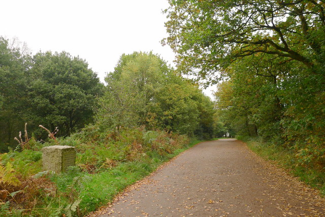
Downs Bank
Plan your visit
Getting here
52.92549, -2.14996
Visiting this summer
Seasonal nature notes and what to look for now
Visiting this summer
Seasonal nature notes and what to look for now
- 🐦68+ species recorded in this area — summer evenings are best for activity; watch for Carrion Crow and Woodpigeon
- 🧺Good picnic destination in summer — open space and facilities for a relaxed day out
- ☕Coffee n' Cones — makes this an easy full-day family visit without needing to pack food
🌤️ Visiting this summer
- 🐦68+ species recorded in this area — summer evenings are best for activity; watch for Carrion Crow and Woodpigeon
- 🧺Good picnic destination in summer — open space and facilities for a relaxed day out
- ☕Coffee n' Cones — makes this an easy full-day family visit without needing to pack food
Good to know
- 🐕Dogs welcome
Best for
Bird watching
Very strong match
Birds — Carrion Crow, Woodpigeon, Jackdaw +65 more · last seen 2026; Deciduous woodland — woodpeckers, warblers and woodland birds
Picnic day out
Very strong match
picnic area, café, car park
Wildlife
Strong match
Birds — Carrion Crow, Woodpigeon, Jackdaw +65 more · last seen 2026; Deciduous woodland priority habitat
Heritage
Strong match
Historic site with public access
Insect spotting
Strong match
Insects — Dark-edged Bee-fly, Harlequin Ladybird, Red-legged Shieldbug +16 more · last seen 2026
Seasonal nature
Strong match
Plants — Pink Purslane, Dog's Mercury, Cow Parsley +31 more · last seen 2026
Trails nearby
Within roughly 5 km🚶Walking
7 signed routes nearby · 3 public paths nearby
Signed route nearbyPublic paths
Walking
Two Saints WayWalking route148 km
Two Saints Way - Chester Cathedral to/from Lichfield Cathedral. In the late Middle Ages a steady stream of pilgrims walked this way – both housing shrines to two game-changing Mercian saints in the 7th century - St Werburgh and St Chad
Trent Valley WayWalking route304 km
Downs Banks Dog Walk, Downs BankWalking route3.2 km
Take a little exercise with your dog and enjoy the fresh air on this 1.5-mile (2.4km) route alongside the stream, or if you're both feeling energetic, add half a mile (0.8km) more and climb uphill for fantastic panoramic views. Suitable for rugged pushcha
Stone Circles ChallengeWalking route
Downs Banks Edges Walk, Downs BankWalking route4 km
Taking you over hills and through secret valleys, this walk contrasts the wild places on your left with green farmland on the right. Undulating with some gravelly paths and narrow stages. Some paths will be muddy during wet weather.
🚴Cycling
33 signed routes nearby
Signed route nearby
Cycling
National Cycle Network Route 5Cycling route
Main RouteCycling route718 m
Main RouteCycling route561 m
Main RouteCycling route30 m
Main RouteCycling route760 m
Main RouteCycling route26 m
🐴Horse riding
4 public paths nearby
Public paths
Horse riding
Stone Rural BW49bridleway · 327 m
Stone Rural BW49bridleway · 305 m
Stone Rural BW49bridleway · 3 m
Wildlife to spot
Photos
Weather for this location
Loading local forecast…
Nearby places
Useful places within 5 km