Birds — Dartford Warbler, Woodlark, Hobby +82 more · last seen 2026; Birds — Dartford Warbler, Woodlark, Hobby +82 more · last seen 2026
Free
🐶
Dog walks
Strong match
Dogs allowed — public woodland
Free
🦋
Insect spotting
Strong match
Insects — Purple Hairstreak, Beautiful Demoiselle, Large Red Damselfly +18 more · last seen 2026; Insects — Purple Hairstreak, Beautiful Demoiselle, Large Red Damselfly +18 more · last seen 2026
Free
🌿
Foraging
Good match
Deciduous woodland — fungi, berries and wild garlic
Varies
🌲
Forest walks
Good match
Public woodland
Free
Trails nearby
Within roughly 5 km
🚶
Walking
▾
11 signed routes nearby · 1 public path nearby
Signed route nearbyPublic paths
Nature Trail, HindheadWalking route1.3 km▾
Named routeLength 1.3 kmDuration 00:30Round tripLocal walking route
Heathland Hike, HindheadWalking route8 km▾
A gentle stroll around the tranquil Witley and Milford Commons. Dry sandy paths weave through different habitats across the commons. Walk clockwise clockwise from the car park for best experience. Dogs welcome (leads during nesting season: 1 Mar-31 Jul)
Named routeLength 8 kmDuration 02:30Round tripLocal walking route
The Fox WayWalking route▾
Named routeLocal walking route
North Downs Way (Western)Walking route▾
Named routeNational walking route
Puttenham walk (SCC)Walking route▾
Named routeLocal walking route
🚴
Cycling
▾
22 signed routes nearby
Signed route nearby
Surrey CyclewayCycling route▾
Farnham link
Named routeRegional cycle route
Route 22Cycling route▾
Named routeRef 22National Cycle Network
Surrey CyclewayCycling route▾
Cycle route consisting of main loop plus link routes
Named routeRound tripRegional cycle route
A3 Cycle RouteCycling route▾
Named routeRef A3Local cycle route
Main RouteCycling route1.5 km▾
Named routeRef 22Length 1.5 kmNational Cycle NetworkOn-roadSurface asphalt
Main RouteCycling route1.9 km▾
Named routeRef 22Length 1.9 kmNational Cycle NetworkOn-roadSurface asphalt
🚵
Mountain biking
▾
4 signed routes nearby
Signed route nearby
Devils PunchBowl LoopMountain bike route▾
Named routeCycle surrey hills
King Alfred's WayMountain bike route▾
King Alfreds Way is 350km (220 miles) off road route designed to be ridden clockwise. It starts & ends in Winchester. It is suitable for gravel or cross-country bikes.
Named routeRegional cycle route
Cycle Surrey Hills - Puttenham LoopMountain bike route▾
Named route
Cycle Surrey Hills - Elstead LoopMountain bike route▾
Named routeRegional cycle route
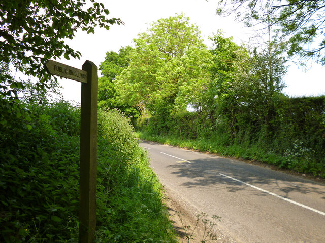
🐴
Horse riding
▾
3 public paths nearby
Public paths
No named routes yet. Public paths are shown on the map.