Plan your visit
Getting here
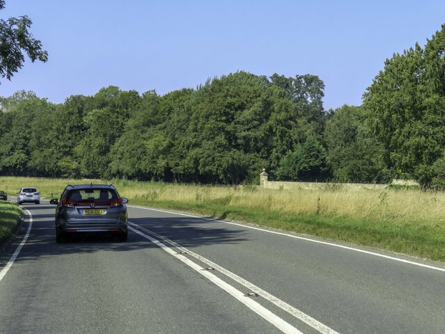
51.82200, -1.76216
Visiting this summer
Seasonal nature notes and what to look for now
Visiting this summer
Seasonal nature notes and what to look for now
- 🌞Midsummer — early morning visits most comfortable; look for deer fawns in quieter clearings
- 🐕Early mornings are best for dog walks in summer — visit before 9am to avoid the heat and find quieter trails
- 🅿️Parking on site — 2 car parks within reach
🌤️ Visiting this summer
- 🌞Midsummer — early morning visits most comfortable; look for deer fawns in quieter clearings
- 🐕Early mornings are best for dog walks in summer — visit before 9am to avoid the heat and find quieter trails
- 🅿️Parking on site — 2 car parks within reach
Good to know
- £Free to visit — no entry charge
- 🐕Dogs welcome
Best for
Wildlife
Very strong match
Multi-group wildlife — Amphibians, Birds, Mammals, Reptiles; Multi-group wildlife — Amphibians, Birds, Mammals, Reptiles
Bird watching
Very strong match
Birds — Barn Owl, Little Egret, Mallard +85 more · last seen 2025; Birds — Barn Owl, Little Egret, Mallard +85 more · last seen 2025
Dog walks
Strong match
Dogs allowed — public woodland
Insect spotting
Strong match
Insects — Peacock, Red Admiral, Euophryum confine +43 more · last seen 2025; Insects — Peacock, Red Admiral, Euophryum confine +43 more · last seen 2025
Foraging
Good match
Deciduous woodland — fungi, berries and wild garlic
Forest walks
Good match
Public woodland
Trails nearby
Within roughly 5 km🚶Walking
13 signed routes nearby · 2 public paths nearby
Signed route nearbyPublic paths
Walking
Monarch's WayWalking route990 km
approximate route of Charles II's escape
Diamond WayWalking route106 km
Macmillan WayWalking route290 km
D'Arcy Dalton WayWalking route107 km
Follows roughly the western boundary of Oxfordshire in unspoilt countryside.
Donnington WayWalking route100 km
🚴Cycling
12 signed routes nearby
Signed route nearby
Cycling
Fosse2Cycling route
Fosse2Cycling route
NCN National Route 57Cycling route
National Byway (Oxon and Glos)Cycling route
Main RouteCycling route3.2 km
Main RouteCycling route769 m
🐴Horse riding
4 public paths nearby
Public paths
Horse riding
Tight lanerestricted byway · 538 m
Tight lanerestricted byway · 817 m
Tight lanerestricted byway · 36 m
Wildlife to spot
Photos
Weather for this location
Loading local forecast…
Nearby places
Useful places within 5 km
Own or manage this place?
Claim this listing to keep details accurate, add photos, and highlight what makes it special — free.
Claim this pageHow was your visit?
How useful was the information on this page?
id: 7a2b68d3-74d1-43ce-a3a3-bee8e4495300