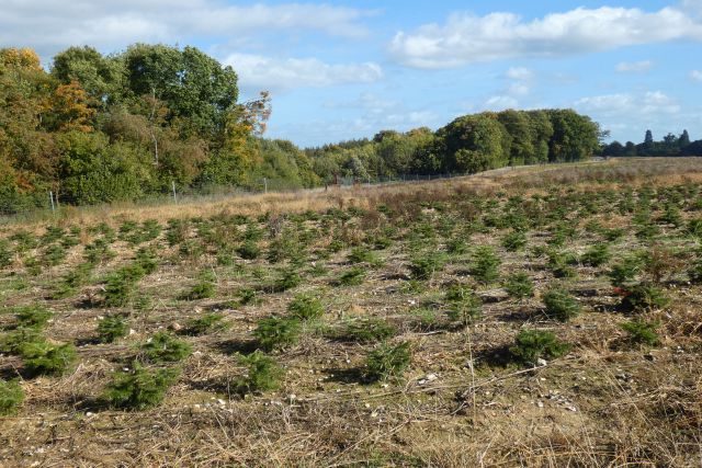
Plants — Common Nettle, Pedunculate Oak, Hawthorn +18 more foraging species; Deciduous woodland — fungi, berries and wild garlic
Varies
🦅
Bird watching
Strong match
Birds — Blue Tit, Blackbird, Robin +43 more · last seen 2025; Birds — Blue Tit, Blackbird, Robin +43 more · last seen 2025
Free
🦋
Insect spotting
Strong match
Insects — Large White, Feathered Cutter, Silver-ground Carpet +109 more · last seen 2025; Insects — Large White, Feathered Cutter, Silver-ground Carpet +109 more · last seen 2025
Free
🍂
Seasonal nature
Strong match
Plants — Bluebell, Common Nettle, Cleavers +168 more · last seen 2017; Plants — Bluebell, Common Nettle, Cleavers +168 more · last seen 2017
Free
🐶
Dog walks
Strong match
Dogs allowed — public woodland
Free
Trails nearby
Within roughly 5 km
🚶
Walking
▾
13 signed routes nearby · 1 public path nearby
Signed route nearbyPublic paths
The RidgewayWalking route140 km▾
Named routeRef RWLength 140 kmNational walking route
The Chiltern Way Southern ExtensionWalking route▾
Long distance path
Named routeRef CWSRegional walking route
The Roman WayWalking route274.5 km▾
Named routeLength 274.5 kmRegional walking route
Thames PathWalking route296 km▾
Named routeRef TPLength 296 kmNational walking route
St Frideswide’s WayWalking route▾
Named routeRef SFWRegional walking route
Brian's Pathpublic footpath · 390 m▾
Public pathpublic footpathLength 390 mSurface unpavedPath type: footway
🚴
Cycling
▾
2 signed routes nearby
Signed route nearby
Eling WayCycling route▾
Named routeLocal cycle route
Round Berkshire Cycle RouteCycling route▾
Named routeRegional cycle route
🚵
Mountain biking
▾
1 signed route nearby
Signed route nearby
King Alfred's WayMountain bike route▾
King Alfreds Way is 350km (220 miles) off road route designed to be ridden clockwise. It starts & ends in Winchester. It is suitable for gravel or cross-country bikes.
Named routeRegional cycle route
🐴
Horse riding
▾
2 public paths nearby
Public paths
No named routes yet. Public paths are shown on the map.