Farnham Road Allotments
Plan your visit
Getting here
51.23298, -0.59112
Visiting this summer
Seasonal nature notes and what to look for now
Visiting this summer
Seasonal nature notes and what to look for now
- 🌞Midsummer — early morning visits most comfortable; look for deer fawns in quieter clearings
- 🚴Start cycling visits early on summer days — trails are best before the heat builds via Route 22
- 🐕Dogs welcome — bring water in summer; the site has enough space to find shade on hot days
🌤️ Visiting this summer
- 🌞Midsummer — early morning visits most comfortable; look for deer fawns in quieter clearings
- 🚴Start cycling visits early on summer days — trails are best before the heat builds via Route 22
- 🐕Dogs welcome — bring water in summer; the site has enough space to find shade on hot days
Good to know
- 🐕Dogs welcome
Best for
Wildlife
Very strong match
Multi-group wildlife — Amphibians, Birds, Mammals, Reptiles; Multi-group wildlife — Amphibians, Birds, Mammals, Reptiles
Bird watching
Very strong match
Birds — Woodpigeon, Robin, Blue Tit +74 more · last seen 2026; Birds — Woodpigeon, Robin, Blue Tit +74 more · last seen 2026
Insect spotting
Strong match
Insects — Syrphus, 7-spot Ladybird, Beautiful Demoiselle +22 more · last seen 2025; Insects — Syrphus, 7-spot Ladybird, Beautiful Demoiselle +22 more · last seen 2025
Cycling
Good match
Named cycling route nearby: Route 22
Dog walks
Good match
Dogs allowed with public access
Seasonal nature
Good match
Plants — Cuckooflower, Common Whitlowgrass, Perennial Wall-rocket +2 more · last seen 2026; Plants — Cuckooflower, Common Whitlowgrass, Perennial Wall-rocket +2 more · last seen 2026
Trails nearby
Within roughly 5 km🚶Walking
11 signed routes nearby · 9 public paths nearby
Signed route nearbyPublic paths
Walking
The Fox WayWalking route
North Downs Way (Western)Walking route
Guildford Nature TrailWalking route
Scholar's TrailWalking route
Wey-South PathWalking route
follows the river Wey and the (partly disused) Wey & Arun canal
Black alleypublic footpath · 276 m
Black alleypublic footpath · 139 m
🚴Cycling
67 signed routes nearby
Signed route nearby
Cycling
Mars TrailCycling route
Surrey CyclewayCycling route
Farnham link
A3 Cycle RouteCycling route
Route 223Cycling route
Route 223Cycling route
Guildford to Chertsey
Route 223Cycling route
🚵Mountain biking
4 signed routes nearby
Signed route nearby
Mountain biking
Christmas Pie TrailMountain bike route13.7 km
leisure route from East Farnham to northwest Guildford
Cycle Surrey Hills - Elstead LoopMountain bike route
Cobra KaiMountain bike route
Cycle Surrey Hills - Puttenham LoopMountain bike route
🐴Horse riding
3 public paths nearby
Public paths
Horse riding
The Mountbridleway · 649 m
Wildlife to spot
Photos
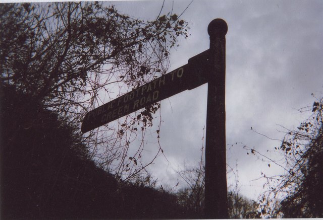
Old Direction Sign - Signpost by the A31, Farnham Road, Guildford Parish
Weather for this location
Loading local forecast…
Nearby places
Useful places within 5 km
Own or manage this place?
Claim this listing to keep details accurate, add photos, and highlight what makes it special — free.
Claim this pageHow was your visit?
How useful was the information on this page?
id: 9840f0d8-cbb5-4ee3-9e81-273bfba75e72